
Distance between  Yarrawonga and
  Mountain Lagoon
316.98 mi Straight Distance
427.92 mi Driving Distance
8 hours 24 mins Estimated Driving Time
The straight distance between Yarrawonga (Victoria) and Mountain Lagoon (New South Wales) is 316.98 mi, but the driving distance is 427.92 mi.
It takes 8 hours 24 mins to go from Yarrawonga to Mountain Lagoon.
Driving directions from Yarrawonga to Mountain Lagoon
Distance in kilometers
Straight distance: 510.03 km. Route distance: 688.53 km
Yarrawonga, Australia
Latitude: -36.0182 // Longitude: 146.003
Photos of Yarrawonga


Yarrawonga Weather

Forecast: Clear sky
Temperature: 18.0°
Humidity: 40%
Current time: 03:44 PM
Sunrise: 07:06 AM
Sunset: 07:46 PM
Mountain Lagoon, Australia
Latitude: -33.4462 // Longitude: 150.627
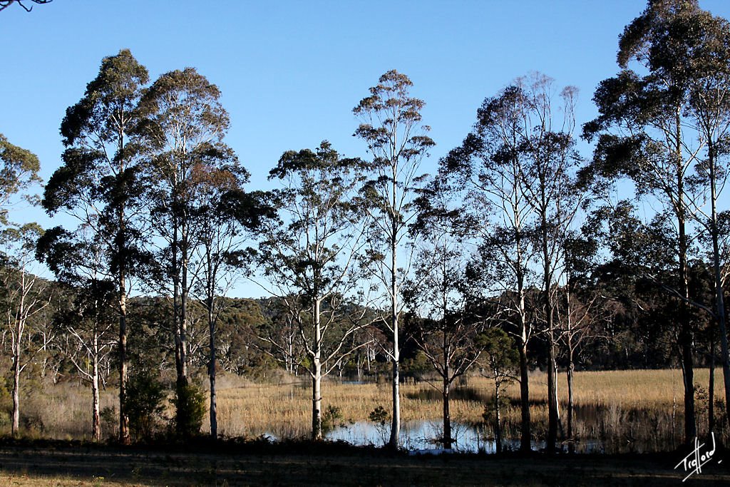
Photos of Mountain Lagoon


Mountain Lagoon Weather
Forecast: Clear sky
Temperature: 18.0°
Humidity: 40%
Sun info not available


