
Distance between  Yarragon and
  Nanson
1,913.81 mi Straight Distance
2,383.24 mi Driving Distance
1 day 21 hours Estimated Driving Time
The straight distance between Yarragon (Victoria) and Nanson (Western Australia) is 1,913.81 mi, but the driving distance is 2,383.24 mi.
It takes 1 day 21 hours to go from Yarragon to Nanson.
Driving directions from Yarragon to Nanson
Distance in kilometers
Straight distance: 3,079.32 km. Route distance: 3,834.63 km
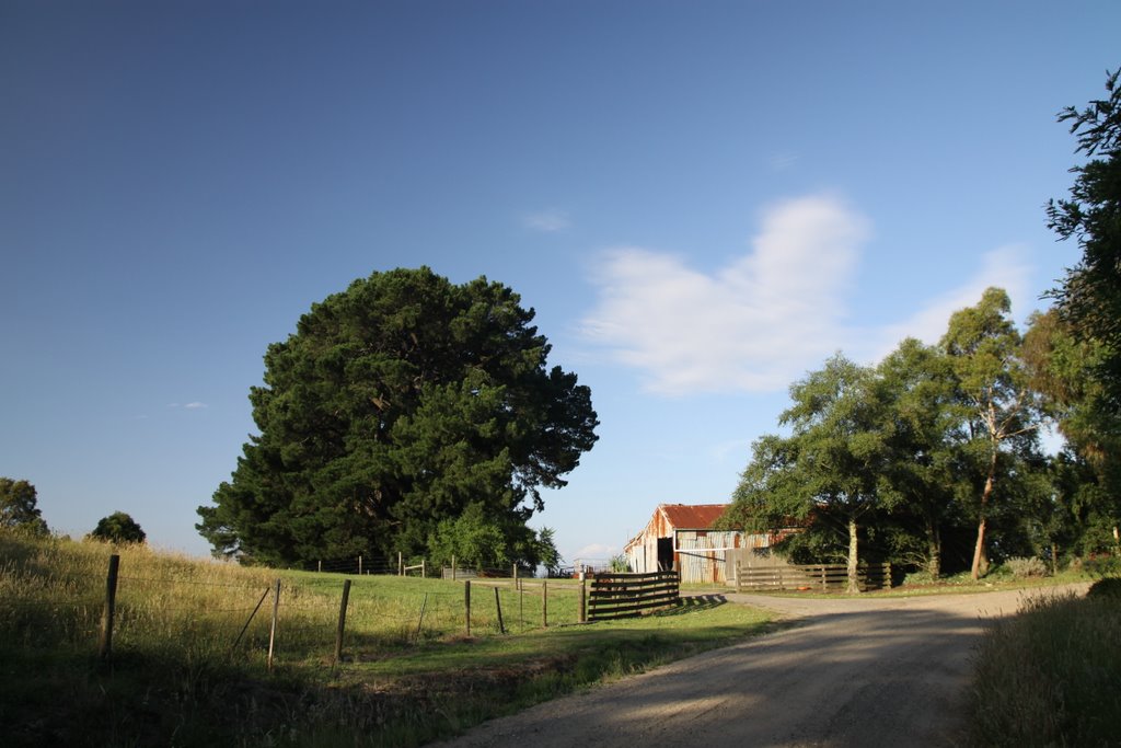
Yarragon, Australia
Latitude: -38.2039 // Longitude: 146.064
Photos of Yarragon


Yarragon Weather

Forecast: Scattered clouds
Temperature: 15.8°
Humidity: 93%
Current time: 10:33 AM
Sunrise: 07:07 AM
Sunset: 07:44 PM
Nanson, Australia
Latitude: -28.5629 // Longitude: 114.76
Photos of Nanson


Nanson Weather

Forecast: Clear sky
Temperature: 21.4°
Humidity: 75%
Sun info not available


