
Distance between  Yarloop and
  Mundrabilla
723.08 mi Straight Distance
920.54 mi Driving Distance
17 hours 23 mins Estimated Driving Time
The straight distance between Yarloop (Western Australia) and Mundrabilla (Western Australia) is 723.08 mi, but the driving distance is 920.54 mi.
It takes 17 hours 23 mins to go from Yarloop to Mundrabilla.
Driving directions from Yarloop to Mundrabilla
Distance in kilometers
Straight distance: 1,163.43 km. Route distance: 1,481.15 km
Yarloop, Australia
Latitude: -32.9537 // Longitude: 115.898
Photos of Yarloop


Yarloop Weather

Forecast: Few clouds
Temperature: 19.7°
Humidity: 62%
Current time: 02:06 PM
Sunrise: 06:13 AM
Sunset: 06:38 PM
Mundrabilla, Australia
Latitude: -31.8184 // Longitude: 128.225
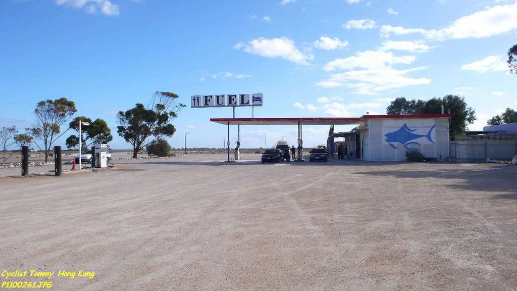
Photos of Mundrabilla


Mundrabilla Weather

Forecast: Overcast clouds
Temperature: 21.2°
Humidity: 58%
Sun info not available


