
Distance between  Yallingup and
  Reeves Plains
1,349.56 mi Straight Distance
1,763.74 mi Driving Distance
1 day 9 hours Estimated Driving Time
The straight distance between Yallingup (Western Australia) and Reeves Plains (South Australia) is 1,349.56 mi, but the driving distance is 1,763.74 mi.
It takes 1 day 9 hours to go from Yallingup to Reeves Plains.
Driving directions from Yallingup to Reeves Plains
Distance in kilometers
Straight distance: 2,171.44 km. Route distance: 2,837.87 km
Yallingup, Australia
Latitude: -33.6464 // Longitude: 115.034
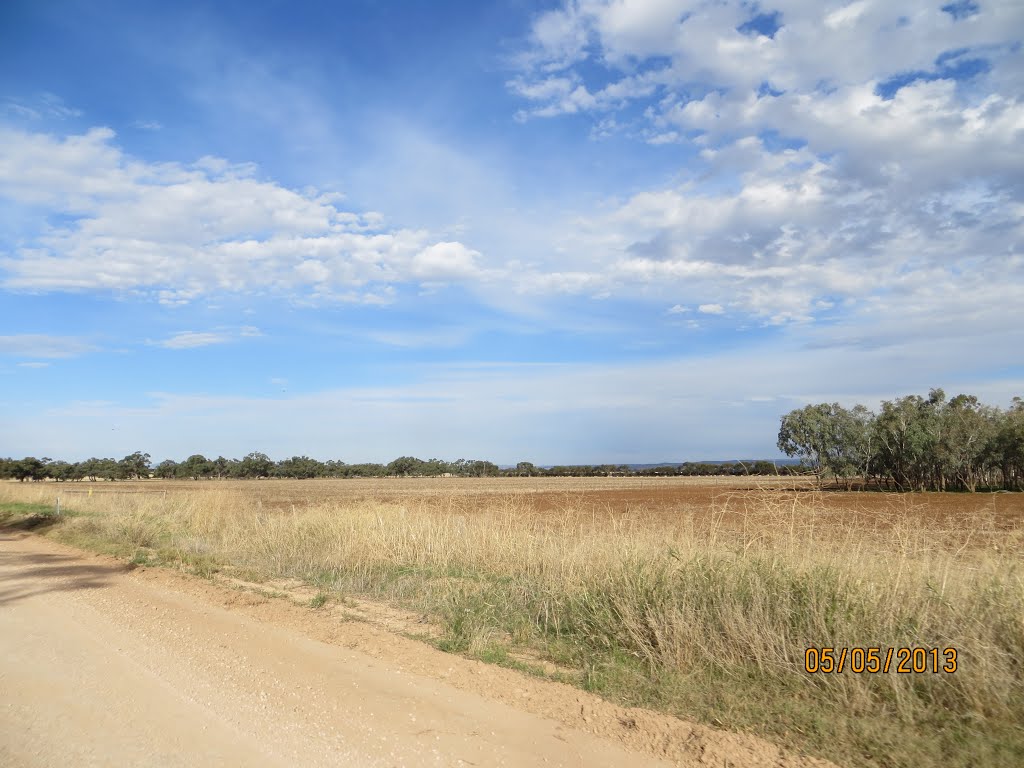
Photos of Yallingup


Yallingup Weather

Forecast: Clear sky
Temperature: 18.0°
Humidity: 40%
Current time: 05:04 PM
Sunrise: 06:12 AM
Sunset: 06:49 PM
Reeves Plains, Australia
Latitude: -34.5265 // Longitude: 138.648
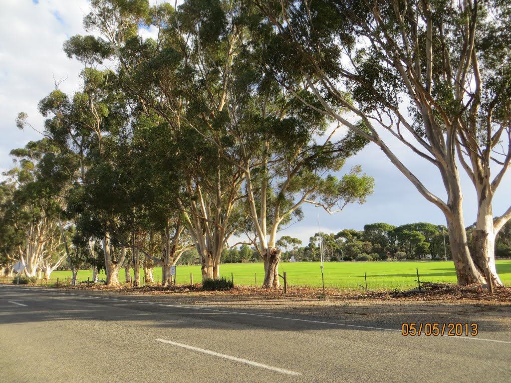
Photos of Reeves Plains


Reeves Plains Weather
Forecast: Clear sky
Temperature: 18.0°
Humidity: 40%
Current time: 07:34 PM
Sunrise: 07:07 AM
Sunset: 07:45 PM


