
Distance between  Wudinna and
  Forrest
456.23 mi Straight Distance
476.27 mi Driving Distance
8 hours 49 mins Estimated Driving Time
The straight distance between Wudinna (South Australia) and Forrest (Western Australia) is 456.23 mi, but the driving distance is 476.27 mi.
It takes 8 hours 49 mins to go from Wudinna to Forrest.
Driving directions from Wudinna to Forrest
Distance in kilometers
Straight distance: 734.08 km. Route distance: 766.32 km
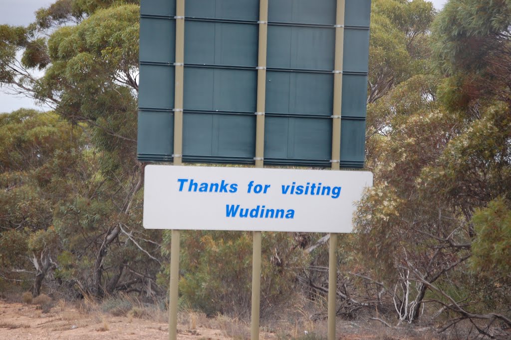
Wudinna, Australia
Latitude: -33.0465 // Longitude: 135.46
Photos of Wudinna


Wudinna Weather

Forecast: Clear sky
Temperature: 17.1°
Humidity: 55%
Current time: 10:59 AM
Sunrise: 07:22 AM
Sunset: 07:54 PM
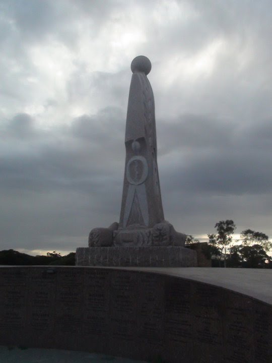
Forrest, Australia
Latitude: -30.8541 // Longitude: 128.117
Photos of Forrest


Forrest Weather
Forecast: Clear sky
Temperature: 17.0°
Humidity: 63%
Current time: 08:29 AM
Sunrise: 05:22 AM
Sunset: 05:52 PM


