
Distance between  Willaura North and
  Widgelli
282.83 mi Straight Distance
359.83 mi Driving Distance
7 hours 46 mins Estimated Driving Time
The straight distance between Willaura North (Victoria) and Widgelli (New South Wales) is 282.83 mi, but the driving distance is 359.83 mi.
It takes 7 hours 46 mins to go from Willaura North to Widgelli.
Driving directions from Willaura North to Widgelli
Distance in kilometers
Straight distance: 455.07 km. Route distance: 578.96 km
Willaura North, Australia
Latitude: -37.384 // Longitude: 142.768
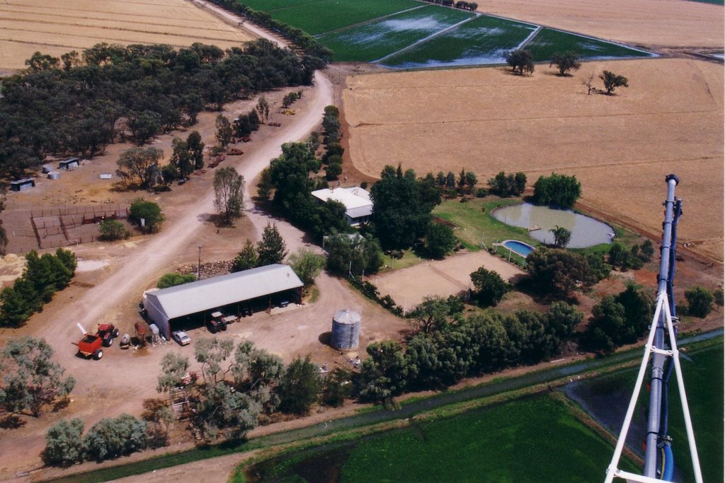
Photos of Willaura North


")


Willaura North Weather

Forecast: Light rain
Temperature: 21.5°
Humidity: 51%
Sun info not available
Widgelli, Australia
Latitude: -34.3299 // Longitude: 146.132
Photos of Widgelli


Widgelli Weather

Forecast: Clear sky
Temperature: 30.0°
Humidity: 33%
Current time: 01:41 PM
Sunrise: 07:09 AM
Sunset: 07:41 PM


