
Distance between  Willaura North and
  Krambach
652.48 mi Straight Distance
843.35 mi Driving Distance
16 hours 2 mins Estimated Driving Time
The straight distance between Willaura North (Victoria) and Krambach (New South Wales) is 652.48 mi, but the driving distance is 843.35 mi.
It takes 16 hours 2 mins to go from Willaura North to Krambach.
Driving directions from Willaura North to Krambach
Distance in kilometers
Straight distance: 1,049.84 km. Route distance: 1,356.95 km
Willaura North, Australia
Latitude: -37.384 // Longitude: 142.768
Photos of Willaura North


")


Willaura North Weather

Forecast: Clear sky
Temperature: 18.0°
Humidity: 40%
Sun info not available
Krambach, Australia
Latitude: -32.0517 // Longitude: 152.262
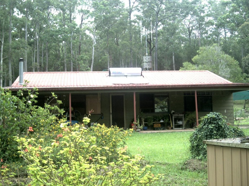
Photos of Krambach


Krambach Weather
Forecast: Clear sky
Temperature: 18.0°
Humidity: 40%
Sun info not available


