
Distance between  Widgelli and
  Pulletop
105.07 mi Straight Distance
130.73 mi Driving Distance
3 hours 8 mins Estimated Driving Time
The straight distance between Widgelli (New South Wales) and Pulletop (New South Wales) is 105.07 mi, but the driving distance is 130.73 mi.
It takes 3 hours 8 mins to go from Widgelli to Pulletop.
Driving directions from Widgelli to Pulletop
Distance in kilometers
Straight distance: 169.06 km. Route distance: 210.35 km
Widgelli, Australia
Latitude: -34.3299 // Longitude: 146.132
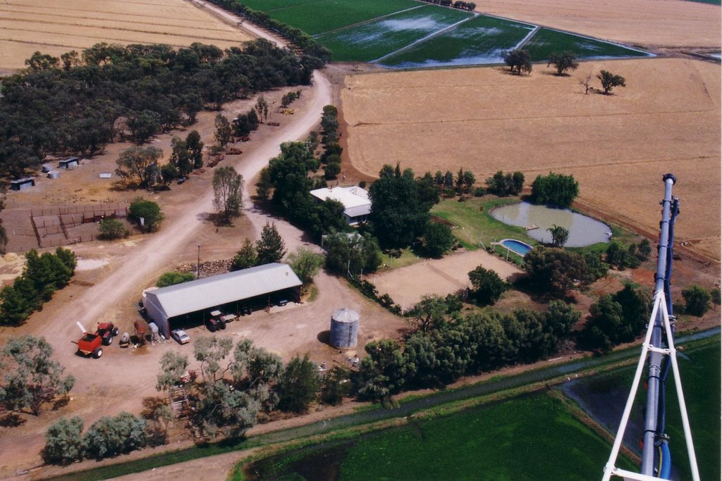
Photos of Widgelli


Widgelli Weather

Forecast: Clear sky
Temperature: 25.0°
Humidity: 32%
Current time: 07:07 AM
Sunrise: 07:09 AM
Sunset: 07:41 PM
Pulletop, Australia
Latitude: -35.4408 // Longitude: 147.398
Photos of Pulletop


Pulletop Weather
Forecast: Clear sky
Temperature: 19.4°
Humidity: 51%
Sun info not available


