
Distance between  Weering and
  Hoddles Cross Roads
513.45 mi Straight Distance
645.23 mi Driving Distance
13 hours 9 mins Estimated Driving Time
The straight distance between Weering (Victoria) and Hoddles Cross Roads (New South Wales) is 513.45 mi, but the driving distance is 645.23 mi.
It takes 13 hours 9 mins to go from Weering to Hoddles Cross Roads.
Driving directions from Weering to Hoddles Cross Roads
Distance in kilometers
Straight distance: 826.15 km. Route distance: 1,038.18 km
Weering, Australia
Latitude: -38.0908 // Longitude: 143.694
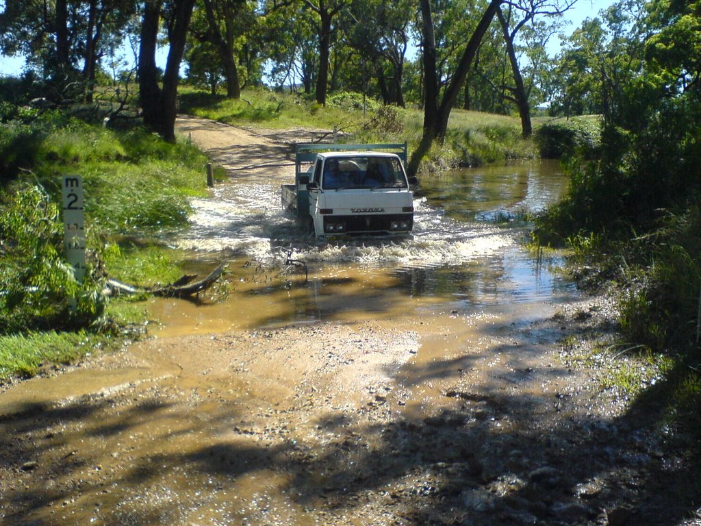
Photos of Weering


. George Pentreath, head teacher of the local school in 1916, provided the original inspiration for this tribute to those who served in WWI")


Weering Weather

Forecast: Broken clouds
Temperature: 19.2°
Humidity: 78%
Sun info not available
Hoddles Cross Roads, Australia
Latitude: -32.5055 // Longitude: 149.707
Photos of Hoddles Cross Roads


Hoddles Cross Roads Weather

Forecast: Clear sky
Temperature: 16.6°
Humidity: 89%
Sun info not available


