
Distance between  Warburton and
  Highcroft
1,673.92 mi Straight Distance
2,252.90 mi Driving Distance
2 days 5 hours Estimated Driving Time
The straight distance between Warburton (Western Australia) and Highcroft (Tasmania) is 1,673.92 mi, but the driving distance is 2,252.90 mi.
It takes 2 days 5 hours to go from Warburton to Highcroft.
Driving directions from Warburton to Highcroft
Distance in kilometers
Straight distance: 2,693.33 km. Route distance: 3,624.92 km
Warburton, Australia
Latitude: -26.1261 // Longitude: 126.574
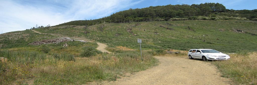
Photos of Warburton


Warburton Weather

Forecast: Clear sky
Temperature: 18.0°
Humidity: 40%
Current time: 03:33 AM
Sunrise: 05:29 AM
Sunset: 05:59 PM
Highcroft, Australia
Latitude: -43.1387 // Longitude: 147.768
Photos of Highcroft


Highcroft Weather
Forecast: Clear sky
Temperature: 18.0°
Humidity: 40%
Sun info not available


