
Distance between  Wangaratta and
  Mountain Lagoon
315.81 mi Straight Distance
414.87 mi Driving Distance
8 hours 3 mins Estimated Driving Time
The straight distance between Wangaratta (Victoria) and Mountain Lagoon (New South Wales) is 315.81 mi, but the driving distance is 414.87 mi.
It takes 8 hours 3 mins to go from Wangaratta to Mountain Lagoon.
Driving directions from Wangaratta to Mountain Lagoon
Distance in kilometers
Straight distance: 508.13 km. Route distance: 667.52 km
Wangaratta, Australia
Latitude: -36.3543 // Longitude: 146.326
Photos of Wangaratta


 - designed by Henry Bastow, Chief Architect, Education Department, and opened in 1877")
. Home to the local Council Offices and several Victorian Government Department Regional Offices")
Wangaratta Weather

Forecast: Clear sky
Temperature: 13.6°
Humidity: 60%
Current time: 03:16 AM
Sunrise: 07:10 AM
Sunset: 07:38 PM
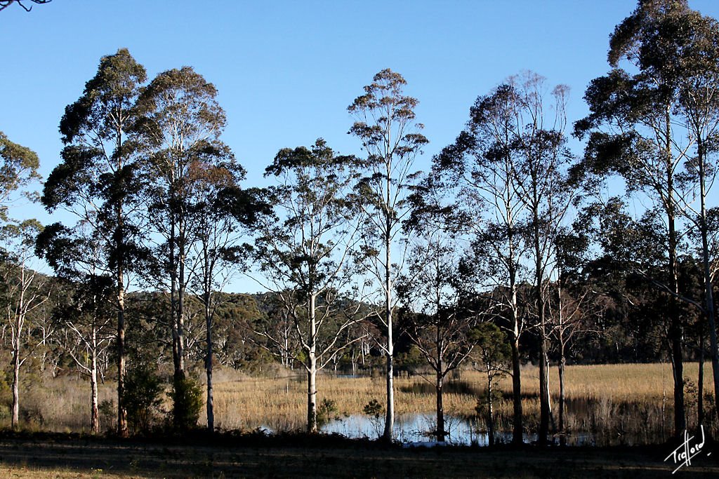
Mountain Lagoon, Australia
Latitude: -33.4462 // Longitude: 150.627
Photos of Mountain Lagoon


Mountain Lagoon Weather

Forecast: Overcast clouds
Temperature: 16.2°
Humidity: 89%
Sun info not available


