
Distance between  Wangaratta South and
  Yarloop
1,733.94 mi Straight Distance
2,232.03 mi Driving Distance
1 day 18 hours Estimated Driving Time
The straight distance between Wangaratta South (Victoria) and Yarloop (Western Australia) is 1,733.94 mi, but the driving distance is 2,232.03 mi.
It takes 1 day 18 hours to go from Wangaratta South to Yarloop.
Driving directions from Wangaratta South to Yarloop
Distance in kilometers
Straight distance: 2,789.90 km. Route distance: 3,591.34 km
Wangaratta South, Australia
Latitude: -36.3953 // Longitude: 146.253
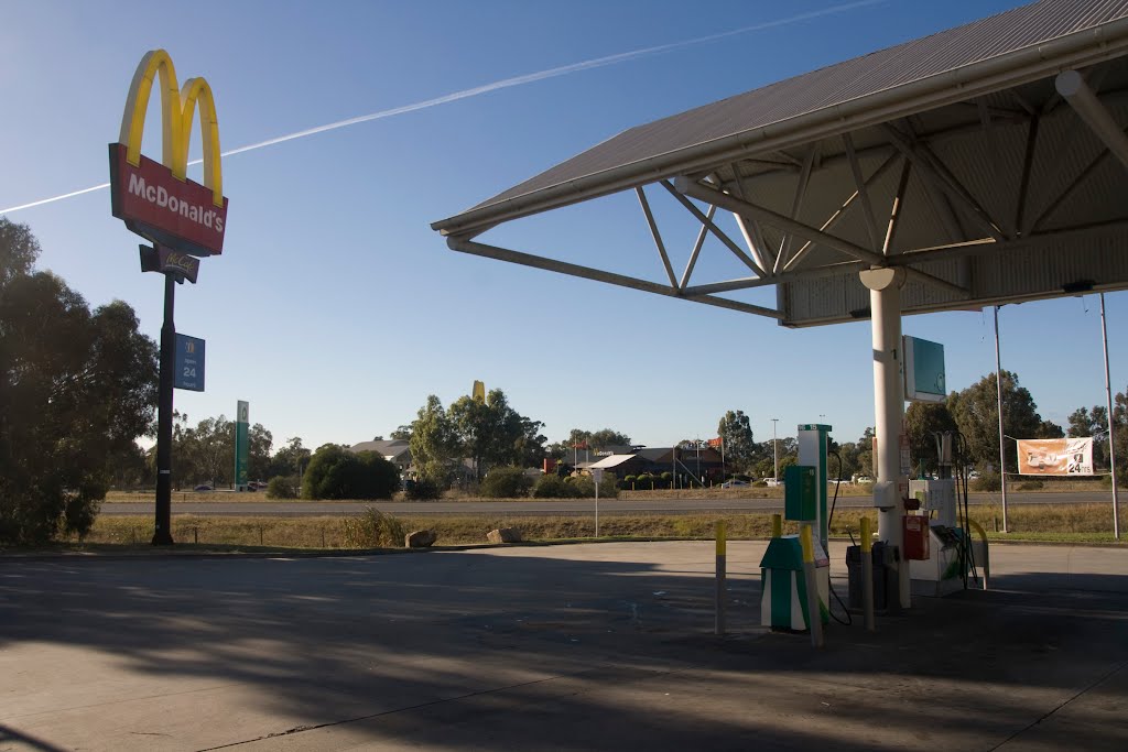
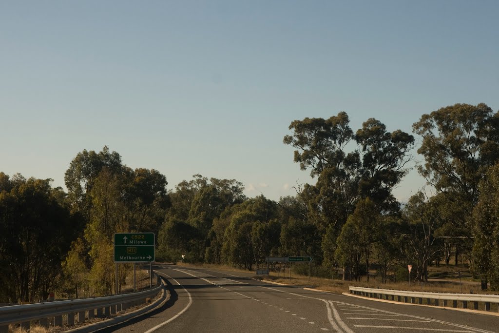
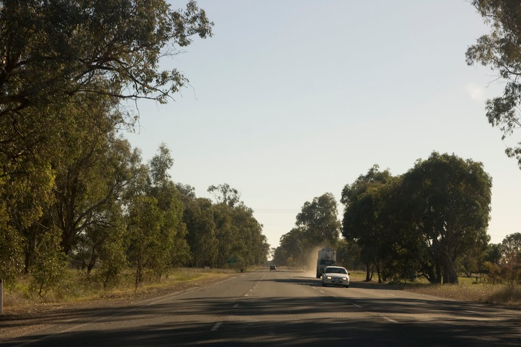
Photos of Wangaratta South


Wangaratta South Weather

Forecast: Clear sky
Temperature: 15.6°
Humidity: 80%
Current time: 03:37 PM
Sunrise: 07:08 AM
Sunset: 07:41 PM
Yarloop, Australia
Latitude: -32.9537 // Longitude: 115.898
Photos of Yarloop


Yarloop Weather
Forecast: Clear sky
Temperature: 18.9°
Humidity: 53%
Current time: 12:37 PM
Sunrise: 06:11 AM
Sunset: 06:41 PM


