
Distance between  W Tree and
  Highcroft
401.17 mi Straight Distance
768.88 mi Driving Distance
19 hours 33 mins Estimated Driving Time
The straight distance between W Tree (Victoria) and Highcroft (Tasmania) is 401.17 mi, but the driving distance is 768.88 mi.
It takes to go from W Tree to Highcroft.
Driving directions from W Tree to Highcroft
Distance in kilometers
Straight distance: 645.48 km. Route distance: 1,237.12 km
W Tree, Australia
Latitude: -37.3432 // Longitude: 148.23
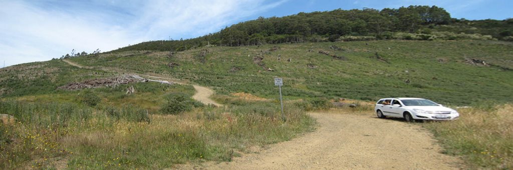
Photos of W Tree


W Tree Weather

Predicción: Broken clouds
Temperatura: 18.9°
Humedad: 52%
Hora actual: 12:00 AM
Amanece: 07:30 PM
Anochece: 09:12 AM
Highcroft, Australia
Latitude: -43.1387 // Longitude: 147.768
Photos of Highcroft


Highcroft Weather
Predicción: Overcast clouds
Temperatura: 17.4°
Humedad: 68%
Hora actual: 12:00 AM
Amanece: 07:21 PM
Anochece: 09:25 AM


