
Distance between  Undera and
  Poochera
640.14 mi Straight Distance
808.10 mi Driving Distance
15 hours 49 mins Estimated Driving Time
The straight distance between Undera (Victoria) and Poochera (South Australia) is 640.14 mi, but the driving distance is 808.10 mi.
It takes 15 hours 49 mins to go from Undera to Poochera.
Driving directions from Undera to Poochera
Distance in kilometers
Straight distance: 1,029.99 km. Route distance: 1,300.23 km
Undera, Australia
Latitude: -36.2781 // Longitude: 145.223
Photos of Undera


Undera Weather

Forecast: Clear sky
Temperature: 14.9°
Humidity: 86%
Sun info not available
Poochera, Australia
Latitude: -32.7209 // Longitude: 134.834
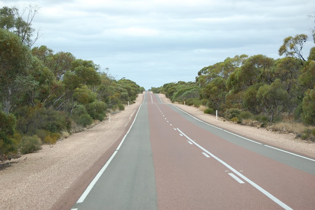
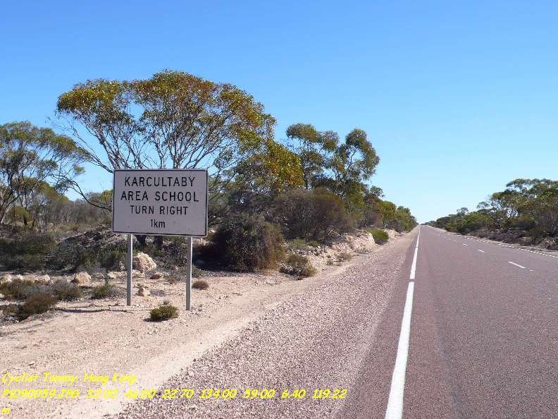
Photos of Poochera


Poochera Weather

Forecast: Overcast clouds
Temperature: 14.5°
Humidity: 86%
Sun info not available


