
Distance between  Trevallyn and
  Highcroft
122.27 mi Straight Distance
165.72 mi Driving Distance
3 hours 29 mins Estimated Driving Time
The straight distance between Trevallyn (Tasmania) and Highcroft (Tasmania) is 122.27 mi, but the driving distance is 165.72 mi.
It takes 3 hours 29 mins to go from Trevallyn to Highcroft.
Driving directions from Trevallyn to Highcroft
Distance in kilometers
Straight distance: 196.73 km. Route distance: 266.64 km
Trevallyn, Australia
Latitude: -41.4354 // Longitude: 147.119
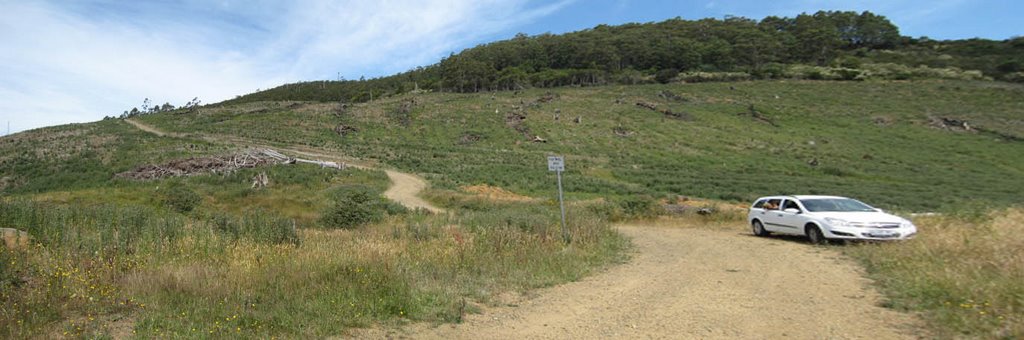
Photos of Trevallyn


Trevallyn Weather

Forecast: Clear sky
Temperature: 18.0°
Humidity: 40%
Current time: 05:26 AM
Sunrise: 06:57 AM
Sunset: 07:47 PM
Highcroft, Australia
Latitude: -43.1387 // Longitude: 147.768
Photos of Highcroft


Highcroft Weather
Forecast: Clear sky
Temperature: 18.0°
Humidity: 40%
Sun info not available


