
Distance between  Toolakea and
  Euabalong West
961.11 mi Straight Distance
1,184.70 mi Driving Distance
1 days 0 hours Estimated Driving Time
The straight distance between Toolakea (Queensland) and Euabalong West (New South Wales) is 961.11 mi, but the driving distance is 1,184.70 mi.
It takes 1 days 0 hours to go from Toolakea to Euabalong West.
Driving directions from Toolakea to Euabalong West
Distance in kilometers
Straight distance: 1,546.43 km. Route distance: 1,906.18 km
Toolakea, Australia
Latitude: -19.1479 // Longitude: 146.582
Photos of Toolakea


Toolakea Weather

Forecast: Clear sky
Temperature: 18.0°
Humidity: 40%
Current time: 05:19 AM
Sunrise: 06:13 AM
Sunset: 06:34 PM
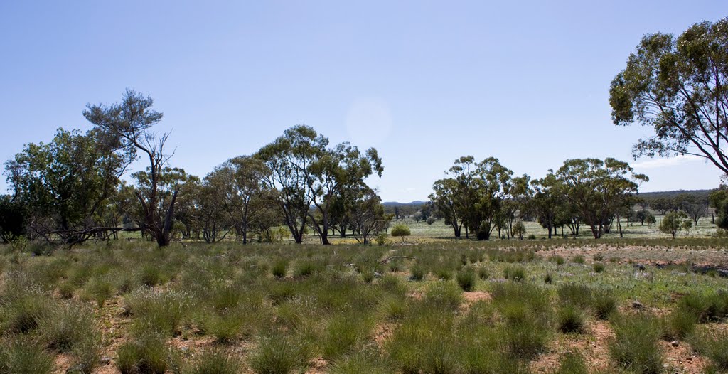
Euabalong West, Australia
Latitude: -33.0572 // Longitude: 146.394
Photos of Euabalong West


Euabalong West Weather
Forecast: Clear sky
Temperature: 18.0°
Humidity: 40%
Sun info not available


