
Distance between  Tongio and
  Highcroft
409.92 mi Straight Distance
771.40 mi Driving Distance
19 hours 29 mins Estimated Driving Time
The straight distance between Tongio (Victoria) and Highcroft (Tasmania) is 409.92 mi, but the driving distance is 771.40 mi.
It takes 19 hours 29 mins to go from Tongio to Highcroft.
Driving directions from Tongio to Highcroft
Distance in kilometers
Straight distance: 659.56 km. Route distance: 1,241.18 km
Tongio, Australia
Latitude: -37.206 // Longitude: 147.719
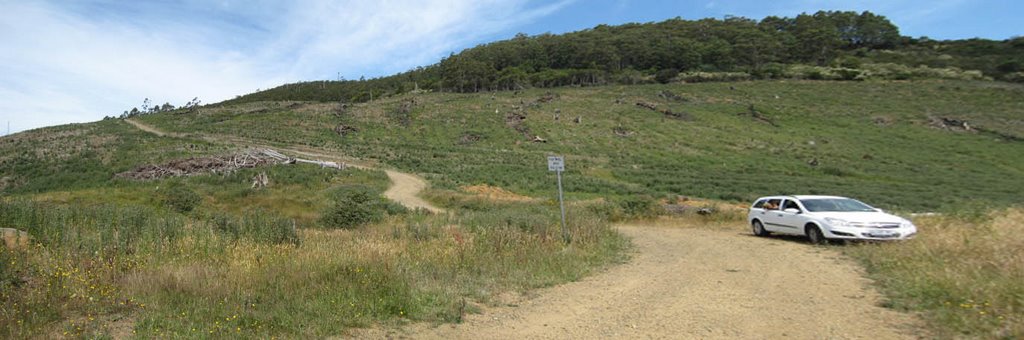
Photos of Tongio


")
")
Tongio Weather

Forecast: Overcast clouds
Temperature: 25.5°
Humidity: 36%
Sun info not available
Highcroft, Australia
Latitude: -43.1387 // Longitude: 147.768
Photos of Highcroft


Highcroft Weather
Forecast: Broken clouds
Temperature: 13.0°
Humidity: 81%
Sun info not available


