
Distance between  Tingha and
  Hermannsburg
1,207.16 mi Straight Distance
1,828.63 mi Driving Distance
1 day 10 hours Estimated Driving Time
The straight distance between Tingha (New South Wales) and Hermannsburg (Northern Territory) is 1,207.16 mi, but the driving distance is 1,828.63 mi.
It takes 1 day 10 hours to go from Tingha to Hermannsburg.
Driving directions from Tingha to Hermannsburg
Distance in kilometers
Straight distance: 1,942.31 km. Route distance: 2,942.27 km
Tingha, Australia
Latitude: -29.9556 // Longitude: 151.212
Photos of Tingha


Tingha Weather

Forecast: Clear sky
Temperature: 16.0°
Humidity: 81%
Current time: 05:37 AM
Sunrise: 06:51 AM
Sunset: 07:19 PM
Hermannsburg, Australia
Latitude: -23.953 // Longitude: 132.773
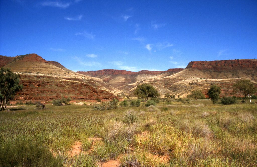
Photos of Hermannsburg


Hermannsburg Weather
Forecast: Clear sky
Temperature: 24.7°
Humidity: 28%
Current time: 04:07 AM
Sunrise: 06:37 AM
Sunset: 07:00 PM


