
Distance between  Three Hummock Island and
  Yarloop
1,679.35 mi Straight Distance
2,572.57 mi Driving Distance
2 days 5 hours Estimated Driving Time
The straight distance between Three Hummock Island (Tasmania) and Yarloop (Western Australia) is 1,679.35 mi, but the driving distance is 2,572.57 mi.
It takes 2 days 5 hours to go from Three Hummock Island to Yarloop.
Driving directions from Three Hummock Island to Yarloop
Distance in kilometers
Straight distance: 2,702.07 km. Route distance: 4,139.26 km
Three Hummock Island, Australia
Latitude: -40.4368 // Longitude: 144.906
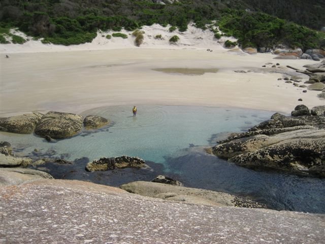
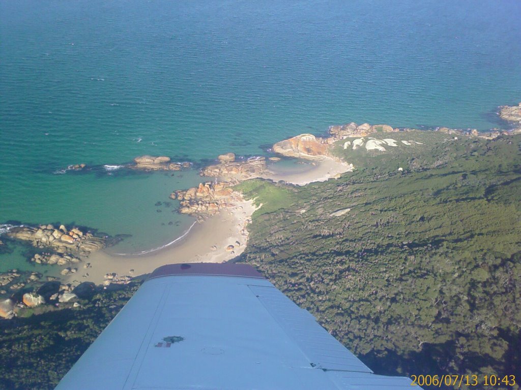
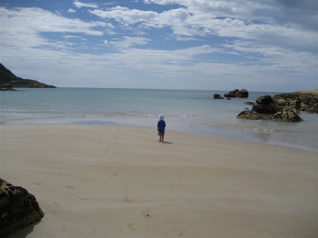
Photos of Three Hummock Island


Three Hummock Island Weather

Forecast: Overcast clouds
Temperature: 14.6°
Humidity: 64%
Sun info not available
Yarloop, Australia
Latitude: -32.9537 // Longitude: 115.898
Photos of Yarloop


Yarloop Weather

Forecast: Clear sky
Temperature: 15.4°
Humidity: 68%
Current time: 12:24 PM
Sunrise: 06:12 AM
Sunset: 06:40 PM


