
Distance between  Teal Point and
  Templers
312.40 mi Straight Distance
382.36 mi Driving Distance
7 hours 51 mins Estimated Driving Time
The straight distance between Teal Point (Victoria) and Templers (South Australia) is 312.40 mi, but the driving distance is 382.36 mi.
It takes to go from Teal Point to Templers.
Driving directions from Teal Point to Templers
Distance in kilometers
Straight distance: 502.66 km. Route distance: 615.22 km
Teal Point, Australia
Latitude: -35.6753 // Longitude: 144.072
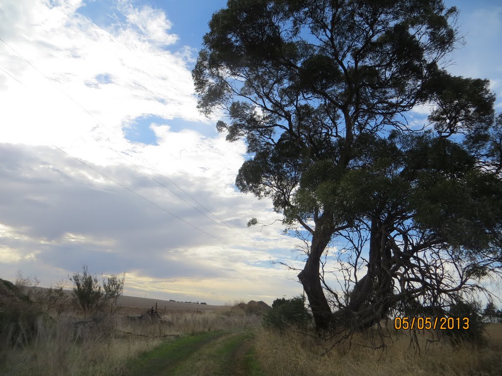
Photos of Teal Point


")
")
Teal Point Weather

Forecast: Scattered clouds
Temperature: 33.9°
Humidity: 32%
Current time: 05:44 PM
Sunrise: 06:56 AM
Sunset: 08:18 PM
Templers, Australia
Latitude: -34.4685 // Longitude: 138.747
Photos of Templers


Templers Weather

Forecast: Broken clouds
Temperature: 22.3°
Humidity: 69%
Current time: 05:14 PM
Sunrise: 06:49 AM
Sunset: 08:08 PM


