
Distance between  Tarwin and
  Malebo
255.61 mi Straight Distance
375.74 mi Driving Distance
7 hours 50 mins Estimated Driving Time
The straight distance between Tarwin (Victoria) and Malebo (New South Wales) is 255.61 mi, but the driving distance is 375.74 mi.
It takes 7 hours 50 mins to go from Tarwin to Malebo.
Driving directions from Tarwin to Malebo
Distance in kilometers
Straight distance: 411.27 km. Route distance: 604.57 km
Tarwin, Australia
Latitude: -38.5865 // Longitude: 145.98
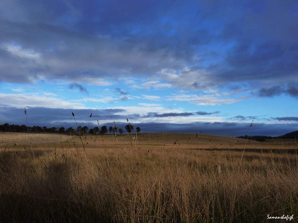
Photos of Tarwin


Tarwin Weather

Forecast: Few clouds
Temperature: 16.1°
Humidity: 90%
Current time: 10:34 AM
Sunrise: 07:07 AM
Sunset: 07:45 PM
Malebo, Australia
Latitude: -35.0333 // Longitude: 147.267
Photos of Malebo


Malebo Weather

Forecast: Clear sky
Temperature: 16.3°
Humidity: 79%
Current time: 10:34 AM
Sunrise: 07:04 AM
Sunset: 07:38 PM


