
Distance between  Tambo Upper and
  Miners Rest
222.12 mi Straight Distance
264.10 mi Driving Distance
5 hours 42 mins Estimated Driving Time
The straight distance between Tambo Upper (Victoria) and Miners Rest (Victoria) is 222.12 mi, but the driving distance is 264.10 mi.
It takes 5 hours 42 mins to go from Tambo Upper to Miners Rest.
Driving directions from Tambo Upper to Miners Rest
Distance in kilometers
Straight distance: 357.38 km. Route distance: 424.94 km
Tambo Upper, Australia
Latitude: -37.7674 // Longitude: 147.844
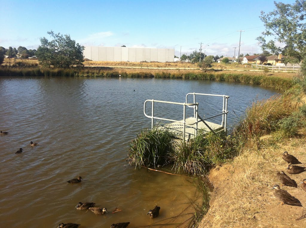
Photos of Tambo Upper


Tambo Upper Weather

Forecast: Clear sky
Temperature: 14.8°
Humidity: 92%
Current time: 09:21 AM
Sunrise: 07:00 AM
Sunset: 07:37 PM
Miners Rest, Australia
Latitude: -37.481 // Longitude: 143.801
Photos of Miners Rest


Miners Rest Weather
Forecast: Clear sky
Temperature: 12.1°
Humidity: 93%
Current time: 09:21 AM
Sunrise: 07:16 AM
Sunset: 07:53 PM


