
Distance between  Taggerty and
  Wallabadah
494.44 mi Straight Distance
623.29 mi Driving Distance
13 hours 6 mins Estimated Driving Time
The straight distance between Taggerty (Victoria) and Wallabadah (New South Wales) is 494.44 mi, but the driving distance is 623.29 mi.
It takes 13 hours 6 mins to go from Taggerty to Wallabadah.
Driving directions from Taggerty to Wallabadah
Distance in kilometers
Straight distance: 795.55 km. Route distance: 1,002.88 km
Taggerty, Australia
Latitude: -37.3209 // Longitude: 145.714
Photos of Taggerty

")


Taggerty Weather

Forecast: Clear sky
Temperature: 15.3°
Humidity: 93%
Sun info not available
Wallabadah, Australia
Latitude: -31.5385 // Longitude: 150.831
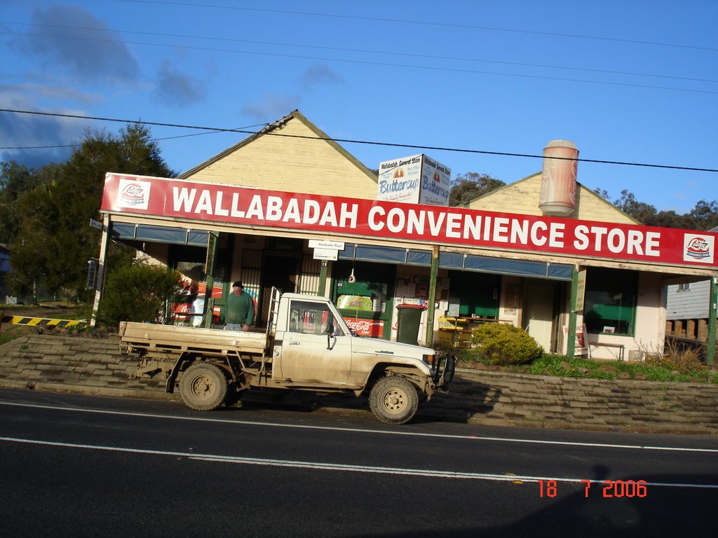
Photos of Wallabadah


Wallabadah Weather

Forecast: Broken clouds
Temperature: 16.2°
Humidity: 89%
Sun info not available


