
Distance between  Table Cape and
  Richmond
1,405.58 mi Straight Distance
1,886.55 mi Driving Distance
1 day 16 hours Estimated Driving Time
The straight distance between Table Cape (Tasmania) and Richmond (Queensland) is 1,405.58 mi, but the driving distance is 1,886.55 mi.
It takes 1 day 16 hours to go from Table Cape to Richmond.
Driving directions from Table Cape to Richmond
Distance in kilometers
Straight distance: 2,261.57 km. Route distance: 3,035.46 km
Table Cape, Australia
Latitude: -40.9555 // Longitude: 145.709
Photos of Table Cape


Table Cape Weather

Forecast: Clear sky
Temperature: 18.0°
Humidity: 40%
Current time: 02:06 PM
Sunrise: 07:04 AM
Sunset: 07:51 PM
Richmond, Australia
Latitude: -20.7295 // Longitude: 143.142
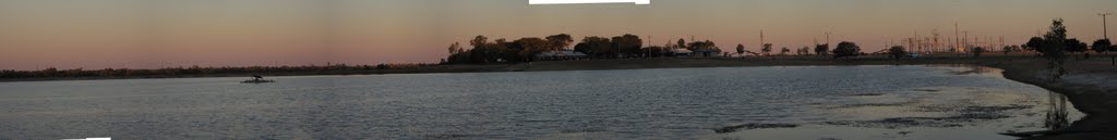
Photos of Richmond


Richmond Weather
Forecast: Clear sky
Temperature: 18.0°
Humidity: 40%
Current time: 01:06 PM
Sunrise: 06:26 AM
Sunset: 06:50 PM


