
Distance between  Table Cape and
  Bridport
87.95 mi Straight Distance
128.63 mi Driving Distance
2 hours 56 mins Estimated Driving Time
The straight distance between Table Cape (Tasmania) and Bridport (Tasmania) is 87.95 mi, but the driving distance is 128.63 mi.
It takes 2 hours 56 mins to go from Table Cape to Bridport.
Driving directions from Table Cape to Bridport
Distance in kilometers
Straight distance: 141.51 km. Route distance: 206.96 km
Table Cape, Australia
Latitude: -40.9555 // Longitude: 145.709
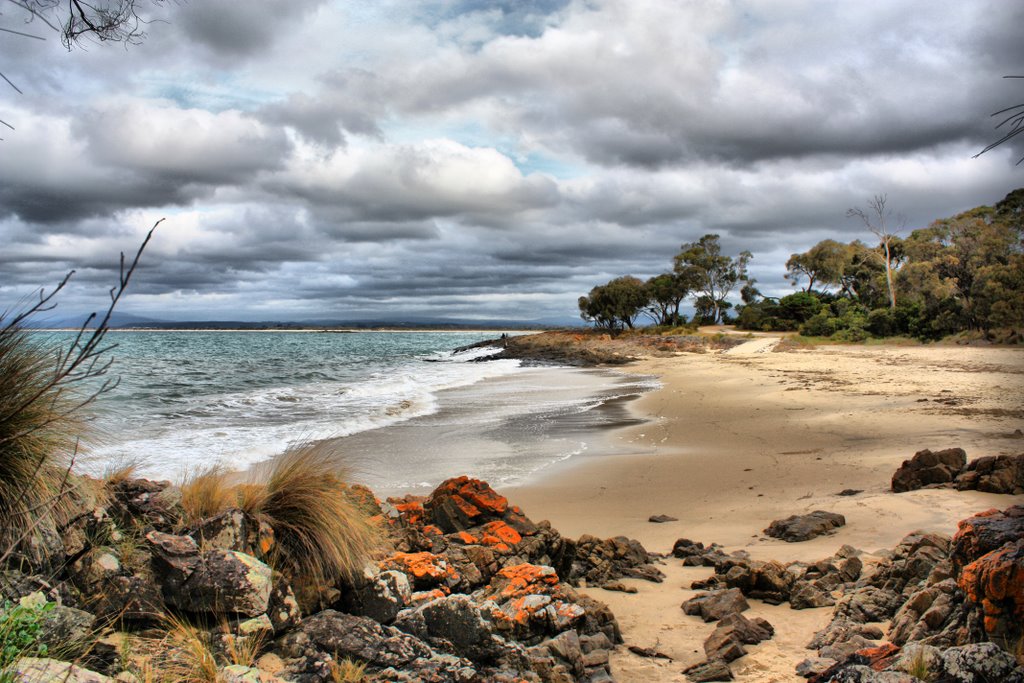
Photos of Table Cape


Table Cape Weather

Forecast: Overcast clouds
Temperature: 15.1°
Humidity: 83%
Current time: 02:40 AM
Sunrise: 07:08 AM
Sunset: 07:46 PM
Bridport, Australia
Latitude: -41.0025 // Longitude: 147.394
Photos of Bridport


Bridport Weather
Forecast: Overcast clouds
Temperature: 15.7°
Humidity: 88%
Current time: 02:40 AM
Sunrise: 07:01 AM
Sunset: 07:39 PM


