
Distance between  Stuart Mill and
  Drummond Cove
1,750.93 mi Straight Distance
2,194.68 mi Driving Distance
1 day 17 hours Estimated Driving Time
The straight distance between Stuart Mill (Victoria) and Drummond Cove (Western Australia) is 1,750.93 mi, but the driving distance is 2,194.68 mi.
It takes 1 day 17 hours to go from Stuart Mill to Drummond Cove.
Driving directions from Stuart Mill to Drummond Cove
Distance in kilometers
Straight distance: 2,817.24 km. Route distance: 3,531.23 km
Stuart Mill, Australia
Latitude: -36.808 // Longitude: 143.289
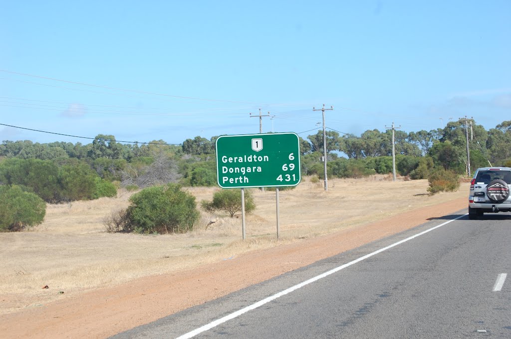
Photos of Stuart Mill


Stuart Mill Weather

Forecast: Clear sky
Temperature: 13.4°
Humidity: 90%
Sun info not available
Drummond Cove, Australia
Latitude: -28.6714 // Longitude: 114.613
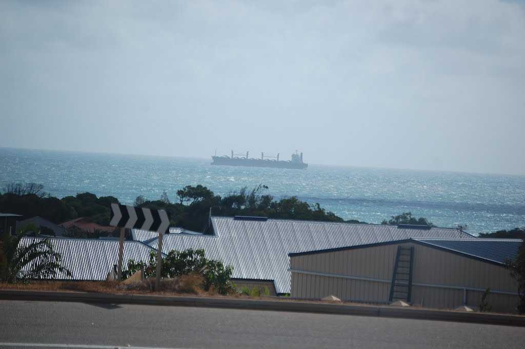
Photos of Drummond Cove


Drummond Cove Weather

Forecast: Broken clouds
Temperature: 25.2°
Humidity: 73%
Current time: 05:38 AM
Sunrise: 06:15 AM
Sunset: 06:49 PM


