
Distance between  Strathkellar and
  Tarcutta
354.44 mi Straight Distance
442.02 mi Driving Distance
8 hours 40 mins Estimated Driving Time
The straight distance between Strathkellar (Victoria) and Tarcutta (New South Wales) is 354.44 mi, but the driving distance is 442.02 mi.
It takes 8 hours 40 mins to go from Strathkellar to Tarcutta.
Driving directions from Strathkellar to Tarcutta
Distance in kilometers
Straight distance: 570.29 km. Route distance: 711.21 km
Strathkellar, Australia
Latitude: -37.6991 // Longitude: 142.113
Photos of Strathkellar


. A museum dedicated to transport and tourism pioneer Sir Reginald Ansett")


Strathkellar Weather

Forecast: Overcast clouds
Temperature: 19.1°
Humidity: 53%
Current time: 04:12 AM
Sunrise: 07:24 AM
Sunset: 07:58 PM
Tarcutta, Australia
Latitude: -35.2764 // Longitude: 147.739
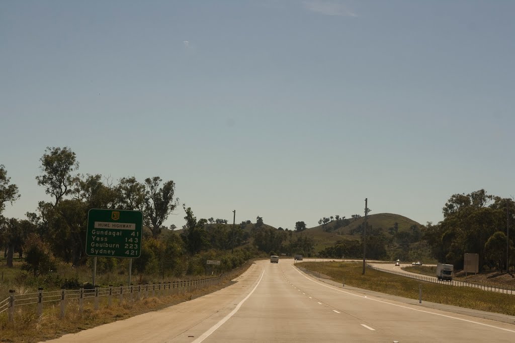
Photos of Tarcutta


Tarcutta Weather

Forecast: Clear sky
Temperature: 19.5°
Humidity: 61%
Sun info not available


