
Distance between  Stavely and
  Widgelli
299.22 mi Straight Distance
374.45 mi Driving Distance
8 hours 9 mins Estimated Driving Time
The straight distance between Stavely (Victoria) and Widgelli (New South Wales) is 299.22 mi, but the driving distance is 374.45 mi.
It takes 8 hours 9 mins to go from Stavely to Widgelli.
Driving directions from Stavely to Widgelli
Distance in kilometers
Straight distance: 481.44 km. Route distance: 602.50 km
Stavely, Australia
Latitude: -37.6045 // Longitude: 142.629
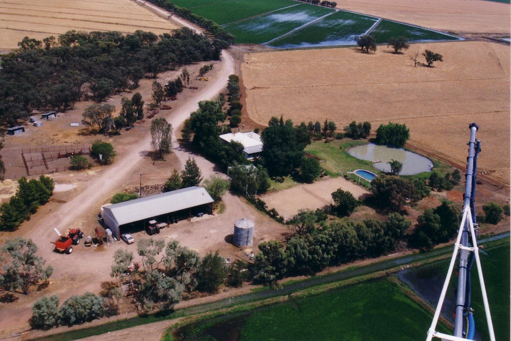
Photos of Stavely


Stavely Weather

Forecast: Clear sky
Temperature: 13.4°
Humidity: 95%
Sun info not available
Widgelli, Australia
Latitude: -34.3299 // Longitude: 146.132
Photos of Widgelli


Widgelli Weather
Forecast: Clear sky
Temperature: 17.8°
Humidity: 77%
Current time: 12:58 PM
Sunrise: 07:09 AM
Sunset: 07:42 PM


