
Distance between  Springhurst and
  Euabalong West
216.17 mi Straight Distance
261.63 mi Driving Distance
5 hours 38 mins Estimated Driving Time
The straight distance between Springhurst (Victoria) and Euabalong West (New South Wales) is 216.17 mi, but the driving distance is 261.63 mi.
It takes 5 hours 38 mins to go from Springhurst to Euabalong West.
Driving directions from Springhurst to Euabalong West
Distance in kilometers
Straight distance: 347.82 km. Route distance: 420.96 km
Springhurst, Australia
Latitude: -36.1853 // Longitude: 146.469
Photos of Springhurst


Springhurst Weather

Forecast: Clear sky
Temperature: 33.2°
Humidity: 35%
Sun info not available
Euabalong West, Australia
Latitude: -33.0572 // Longitude: 146.394
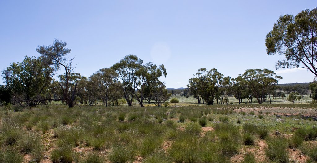
Photos of Euabalong West


Euabalong West Weather
Forecast: Clear sky
Temperature: 32.6°
Humidity: 22%
Sun info not available


