
Distance between  Singleton and
  Butlers Gorge
722.61 mi Straight Distance
1,089.82 mi Driving Distance
1 day 1 hour Estimated Driving Time
The straight distance between Singleton (New South Wales) and Butlers Gorge (Tasmania) is 722.61 mi, but the driving distance is 1,089.82 mi.
It takes to go from Singleton to Butlers Gorge.
Driving directions from Singleton to Butlers Gorge
Distance in kilometers
Straight distance: 1,162.68 km. Route distance: 1,753.53 km
Singleton, Australia
Latitude: -32.562 // Longitude: 151.175
Photos of Singleton


Singleton Weather

Forecast: Overcast clouds
Temperature: 23.3°
Humidity: 92%
Current time: 12:54 PM
Sunrise: 06:35 AM
Sunset: 07:42 PM
Butlers Gorge, Australia
Latitude: -42.2735 // Longitude: 146.271
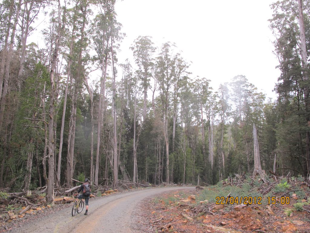
Photos of Butlers Gorge


Butlers Gorge Weather

Forecast: Scattered clouds
Temperature: 3.4°
Humidity: 82%
Current time: 10:00 AM
Sunrise: 06:41 AM
Sunset: 08:15 PM


