
Distance between  Rossbridge and
  Widgelli
285.12 mi Straight Distance
359.61 mi Driving Distance
7 hours 47 mins Estimated Driving Time
The straight distance between Rossbridge (Victoria) and Widgelli (New South Wales) is 285.12 mi, but the driving distance is 359.61 mi.
It takes 7 hours 47 mins to go from Rossbridge to Widgelli.
Driving directions from Rossbridge to Widgelli
Distance in kilometers
Straight distance: 458.76 km. Route distance: 578.61 km
Rossbridge, Australia
Latitude: -37.4864 // Longitude: 142.849
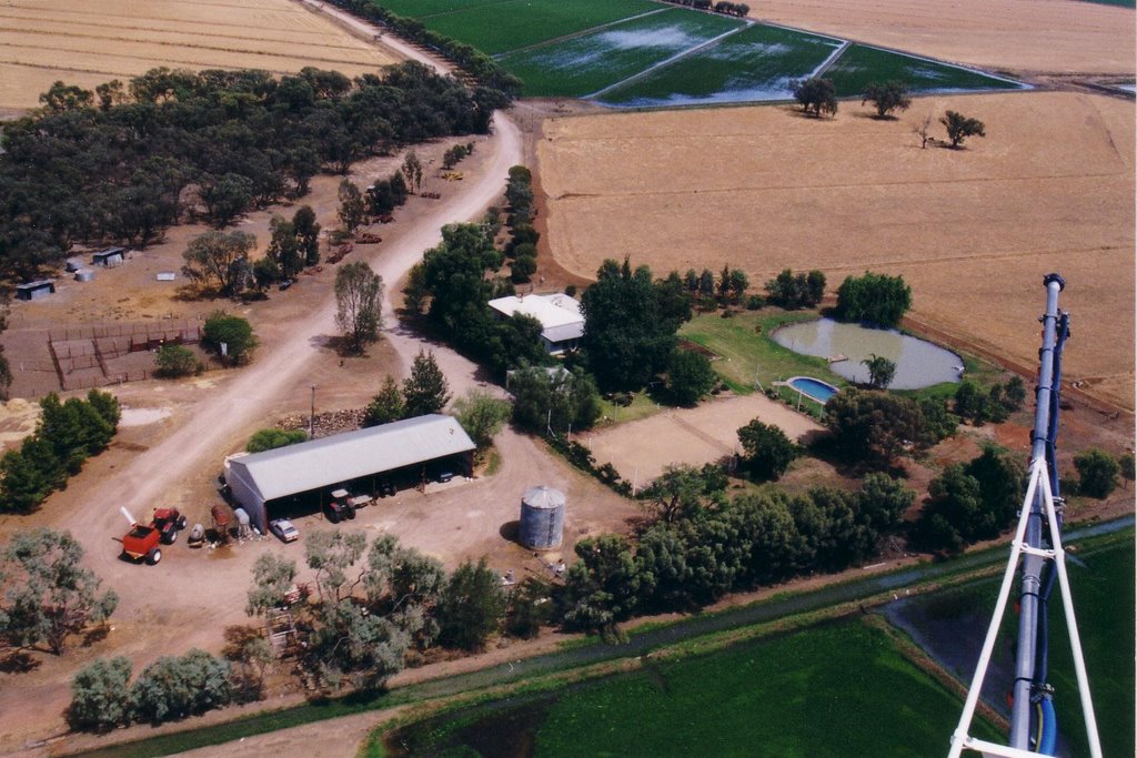
Photos of Rossbridge


")

")


")
Rossbridge Weather

Forecast: Scattered clouds
Temperature: 13.7°
Humidity: 94%
Sun info not available
Widgelli, Australia
Latitude: -34.3299 // Longitude: 146.132
Photos of Widgelli


Widgelli Weather

Forecast: Clear sky
Temperature: 17.8°
Humidity: 77%
Current time: 10:56 AM
Sunrise: 07:09 AM
Sunset: 07:42 PM


