
Distance between  Rockhampton and
  Book Book
850.98 mi Straight Distance
984.30 mi Driving Distance
20 hours 14 mins Estimated Driving Time
The straight distance between Rockhampton (Queensland) and Book Book (New South Wales) is 850.98 mi, but the driving distance is 984.30 mi.
It takes to go from Rockhampton to Book Book.
Driving directions from Rockhampton to Book Book
Distance in kilometers
Straight distance: 1,369.23 km. Route distance: 1,583.75 km
Rockhampton, Australia
Latitude: -23.3222 // Longitude: 150.512
Photos of Rockhampton


Rockhampton Weather

Forecast: Broken clouds
Temperature: 29.4°
Humidity: 57%
Current time: 12:27 AM
Sunrise: 05:51 AM
Sunset: 06:30 PM
Book Book, Australia
Latitude: -35.3694 // Longitude: 147.563
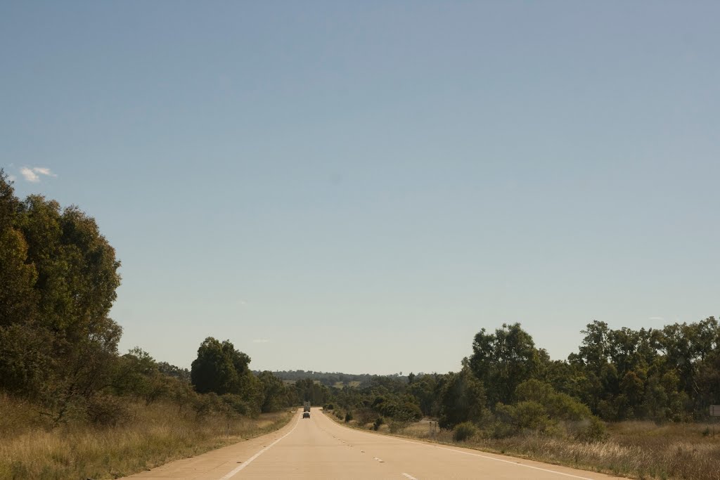
Photos of Book Book


Book Book Weather

Forecast: Few clouds
Temperature: 19.6°
Humidity: 70%
Current time: 10:00 AM
Sunrise: 05:52 AM
Sunset: 06:52 PM


