
Distance between  Roadvale and
  Bushfield
927.92 mi Straight Distance
1,137.15 mi Driving Distance
23 hours 6 mins Estimated Driving Time
The straight distance between Roadvale (Queensland) and Bushfield (Victoria) is 927.92 mi, but the driving distance is 1,137.15 mi.
It takes 23 hours 6 mins to go from Roadvale to Bushfield.
Driving directions from Roadvale to Bushfield
Distance in kilometers
Straight distance: 1,493.02 km. Route distance: 1,829.67 km
Roadvale, Australia
Latitude: -27.9178 // Longitude: 152.69
Photos of Roadvale


Roadvale Weather

Forecast: Broken clouds
Temperature: 19.9°
Humidity: 95%
Current time: 10:05 AM
Sunrise: 05:45 AM
Sunset: 06:13 PM
Bushfield, Australia
Latitude: -38.3258 // Longitude: 142.52
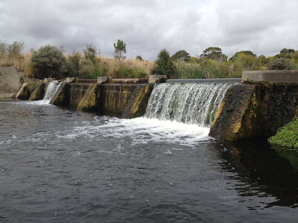
Photos of Bushfield


. St Ann’s Convent was established here in 1872. In 1991 that girls boarding school amalgamated with St Joseph’s Christian Brothers College to become Emmanuel College")
. The students can gain nationally accredited qualifications in Agriculture whilst still at school")


Bushfield Weather

Forecast: Few clouds
Temperature: 14.7°
Humidity: 92%
Current time: 11:05 AM
Sunrise: 07:21 AM
Sunset: 07:59 PM


