
Distance between  Richmond and
  Rubicon
1,158.14 mi Straight Distance
1,493.25 mi Driving Distance
1 day 5 hours Estimated Driving Time
The straight distance between Richmond (Queensland) and Rubicon (Victoria) is 1,158.14 mi, but the driving distance is 1,493.25 mi.
It takes 1 day 5 hours to go from Richmond to Rubicon.
Driving directions from Richmond to Rubicon
Distance in kilometers
Straight distance: 1,863.45 km. Route distance: 2,402.64 km
Richmond, Australia
Latitude: -20.7295 // Longitude: 143.142
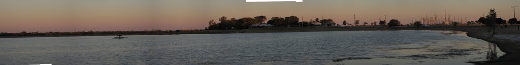
Photos of Richmond


Richmond Weather

Forecast: Clear sky
Temperature: 25.3°
Humidity: 75%
Current time: 02:11 PM
Sunrise: 06:27 AM
Sunset: 06:46 PM
Rubicon, Australia
Latitude: -37.3243 // Longitude: 145.861
Photos of Rubicon


Rubicon Weather

Forecast: Scattered clouds
Temperature: 9.2°
Humidity: 72%
Sun info not available


