
Distance between  Reeves Plains and
  Pine Point
43.74 mi Straight Distance
83.63 mi Driving Distance
1 hour 48 mins Estimated Driving Time
The straight distance between Reeves Plains (South Australia) and Pine Point (South Australia) is 43.74 mi, but the driving distance is 83.63 mi.
It takes 1 hour 48 mins to go from Reeves Plains to Pine Point.
Driving directions from Reeves Plains to Pine Point
Distance in kilometers
Straight distance: 70.38 km. Route distance: 134.56 km
Reeves Plains, Australia
Latitude: -34.5265 // Longitude: 138.648
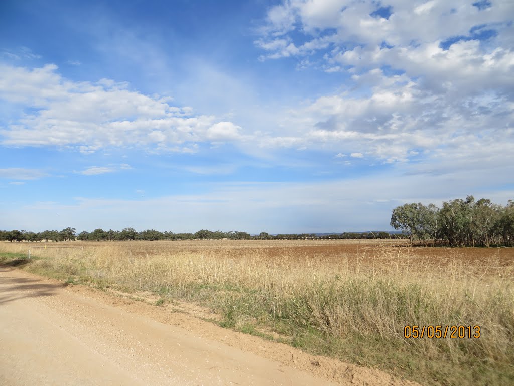
Photos of Reeves Plains


Reeves Plains Weather

Forecast: Overcast clouds
Temperature: 20.8°
Humidity: 36%
Current time: 06:43 PM
Sunrise: 07:11 AM
Sunset: 07:38 PM
Pine Point, Australia
Latitude: -34.568 // Longitude: 137.881
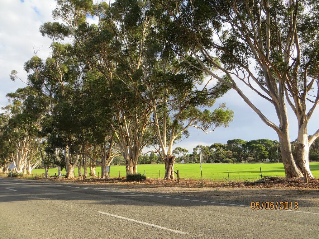
Photos of Pine Point


Pine Point Weather
Forecast: Broken clouds
Temperature: 20.5°
Humidity: 45%
Sun info not available


