
Distance between  Reeves Plains and
1,103.88 mi Straight Distance
1,352.81 mi Driving Distance
1 day 4 hours Estimated Driving Time
The straight distance between Reeves Plains (South Australia) and (Northern Territory) is 1,103.88 mi, but the driving distance is 1,352.81 mi.
It takes 1 day 4 hours to go from Reeves Plains to .
Driving directions from Reeves Plains to
Distance in kilometers
Straight distance: 1,776.14 km. Route distance: 2,176.67 km
Reeves Plains, Australia
Latitude: -34.5265 // Longitude: 138.648
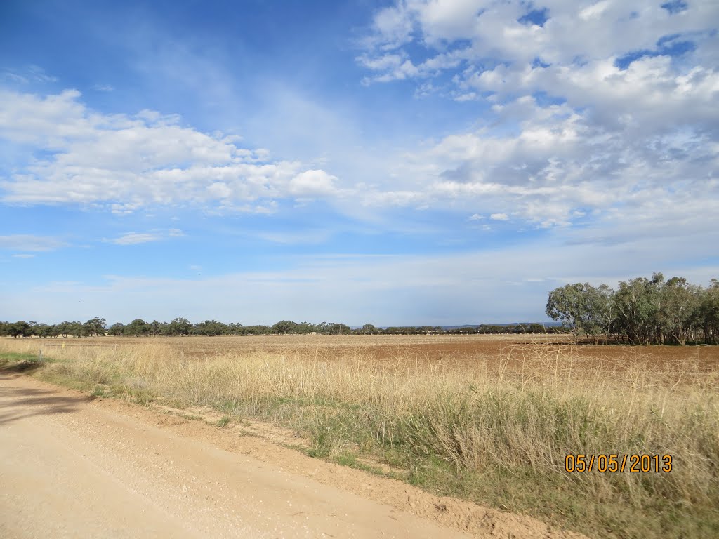
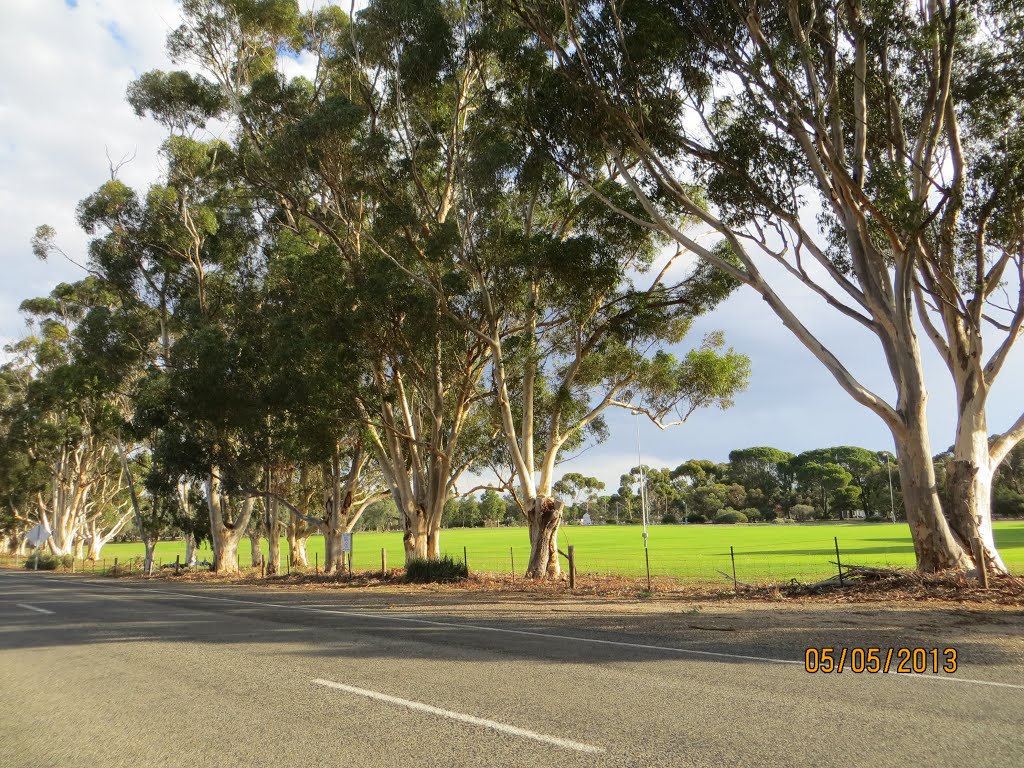
Photos of Reeves Plains


Reeves Plains Weather

Forecast: Overcast clouds
Temperature: 12.7°
Humidity: 62%
Current time: 11:42 AM
Sunrise: 07:11 AM
Sunset: 07:38 PM
, Australia
Latitude: -19.4914 // Longitude: 132.551
Photos of


")


Weather

Forecast: Light rain
Temperature: 24.0°
Humidity: 87%
Sun info not available


