
Distance between  Redcliffe and
  Brandum
1,072.16 mi Straight Distance
1,428.84 mi Driving Distance
1 day 8 hours Estimated Driving Time
The straight distance between Redcliffe (Queensland) and Brandum (Tasmania) is 1,072.16 mi, but the driving distance is 1,428.84 mi.
It takes 1 day 8 hours to go from Redcliffe to Brandum.
Driving directions from Redcliffe to Brandum
Distance in kilometers
Straight distance: 1,725.11 km. Route distance: 2,299.00 km
Redcliffe, Australia
Latitude: -27.2297 // Longitude: 153.108
Photos of Redcliffe


Redcliffe Weather

Forecast: Few clouds
Temperature: 25.6°
Humidity: 69%
Current time: 10:01 AM
Sunrise: 05:44 AM
Sunset: 06:10 PM
Brandum, Australia
Latitude: -41.8269 // Longitude: 146.674
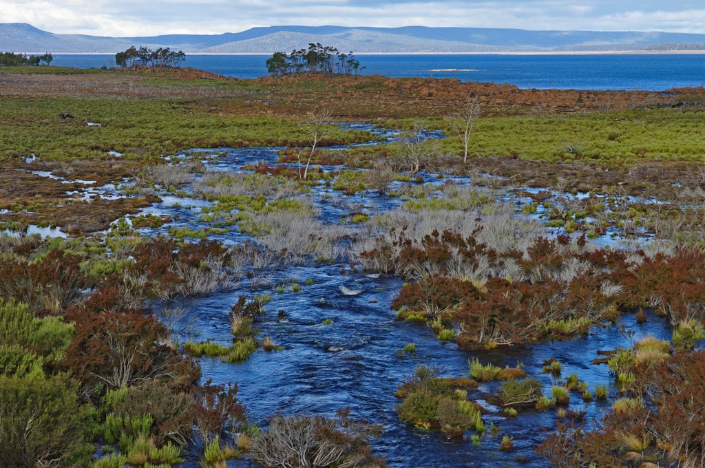
Photos of Brandum


Brandum Weather

Forecast: Light rain
Temperature: 9.4°
Humidity: 85%
Sun info not available


