
Distance between  Rawson and
  Bridport
217.10 mi Straight Distance
512.73 mi Driving Distance
14 hours 9 mins Estimated Driving Time
The straight distance between Rawson (Victoria) and Bridport (Tasmania) is 217.10 mi, but the driving distance is 512.73 mi.
It takes 14 hours 9 mins to go from Rawson to Bridport.
Driving directions from Rawson to Bridport
Distance in kilometers
Straight distance: 349.31 km. Route distance: 824.98 km
Rawson, Australia
Latitude: -37.9556 // Longitude: 146.399
Photos of Rawson


. Although the Police Station is in the background, no flat-feet have been tromping through this part of the park")


Rawson Weather

Forecast: Clear sky
Temperature: 18.0°
Humidity: 40%
Sun info not available
Bridport, Australia
Latitude: -41.0025 // Longitude: 147.394
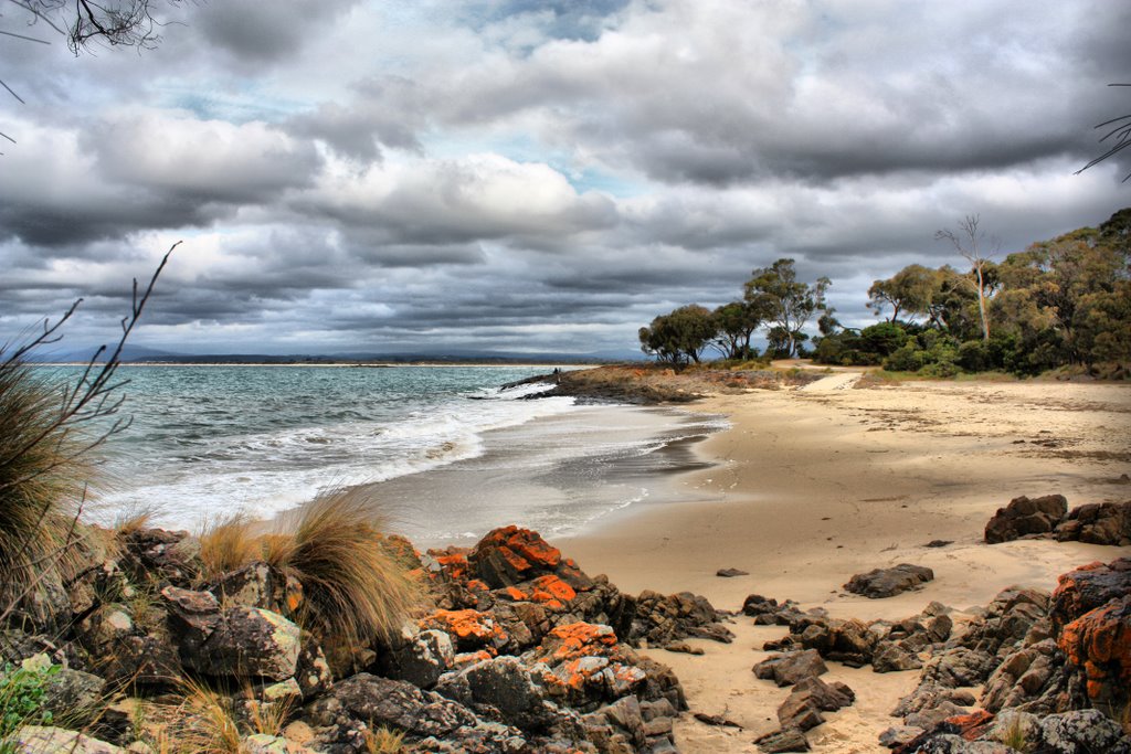
Photos of Bridport


Bridport Weather
Forecast: Clear sky
Temperature: 18.0°
Humidity: 40%
Current time: 09:59 PM
Sunrise: 06:58 AM
Sunset: 07:44 PM


