
Distance between  Poochera and
  Pine Point
216.79 mi Straight Distance
374.14 mi Driving Distance
7 hours 4 mins Estimated Driving Time
The straight distance between Poochera (South Australia) and Pine Point (South Australia) is 216.79 mi, but the driving distance is 374.14 mi.
It takes 7 hours 4 mins to go from Poochera to Pine Point.
Driving directions from Poochera to Pine Point
Distance in kilometers
Straight distance: 348.81 km. Route distance: 602.00 km
Poochera, Australia
Latitude: -32.7209 // Longitude: 134.834
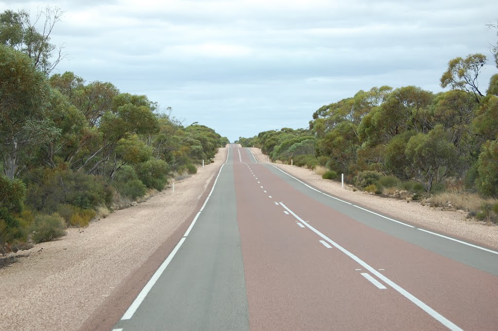
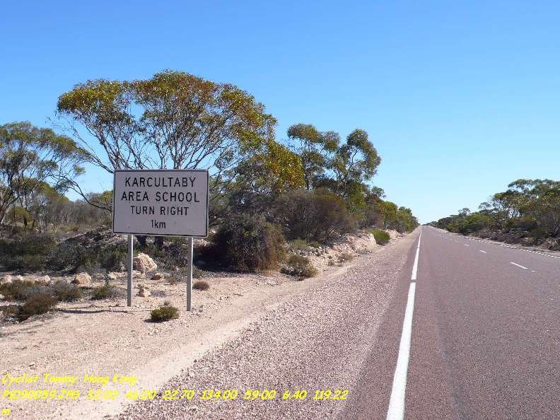
Photos of Poochera


Poochera Weather

Forecast: Clear sky
Temperature: 16.1°
Humidity: 63%
Sun info not available
Pine Point, Australia
Latitude: -34.568 // Longitude: 137.881
Photos of Pine Point


Pine Point Weather

Forecast: Scattered clouds
Temperature: 20.1°
Humidity: 55%
Sun info not available


