
Distance between  Point Samson and
  Brandum
2,255.44 mi Straight Distance
3,088.58 mi Driving Distance
2 days 17 hours Estimated Driving Time
The straight distance between Point Samson (Western Australia) and Brandum (Tasmania) is 2,255.44 mi, but the driving distance is 3,088.58 mi.
It takes 2 days 17 hours to go from Point Samson to Brandum.
Driving directions from Point Samson to Brandum
Distance in kilometers
Straight distance: 3,629.00 km. Route distance: 4,969.53 km
Point Samson, Australia
Latitude: -20.6289 // Longitude: 117.194
Photos of Point Samson


")
Point Samson Weather

Forecast: Overcast clouds
Temperature: 32.5°
Humidity: 51%
Current time: 09:59 AM
Sunrise: 06:10 AM
Sunset: 06:31 PM
Brandum, Australia
Latitude: -41.8269 // Longitude: 146.674
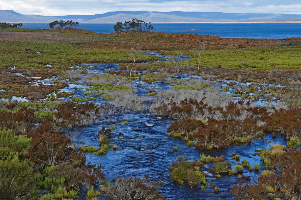
Photos of Brandum


Brandum Weather

Forecast: Light rain
Temperature: 9.4°
Humidity: 85%
Sun info not available


