
Distance between  Pine Point and
  Hatherleigh
242.12 mi Straight Distance
342.14 mi Driving Distance
6 hours 56 mins Estimated Driving Time
The straight distance between Pine Point (South Australia) and Hatherleigh (South Australia) is 242.12 mi, but the driving distance is 342.14 mi.
It takes to go from Pine Point to Hatherleigh.
Driving directions from Pine Point to Hatherleigh
Distance in kilometers
Straight distance: 389.57 km. Route distance: 550.51 km
Pine Point, Australia
Latitude: -34.568 // Longitude: 137.881
Photos of Pine Point


Pine Point Weather

Forecast: Overcast clouds
Temperature: 33.0°
Humidity: 42%
Current time: 12:00 AM
Sunrise: 08:32 PM
Sunset: 09:29 AM
Hatherleigh, Australia
Latitude: -37.4898 // Longitude: 140.274
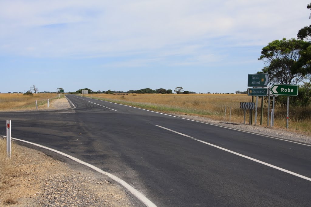
Photos of Hatherleigh


Hatherleigh Weather
Forecast: Broken clouds
Temperature: 23.4°
Humidity: 55%
Current time: 12:00 AM
Sunrise: 08:20 PM
Sunset: 09:23 AM


