
Distance between  Pine Mountain and
  Larrimah
1,675.63 mi Straight Distance
2,147.96 mi Driving Distance
1 day 14 hours Estimated Driving Time
The straight distance between Pine Mountain (Victoria) and Larrimah (Northern Territory) is 1,675.63 mi, but the driving distance is 2,147.96 mi.
It takes 1 day 14 hours to go from Pine Mountain to Larrimah.
Driving directions from Pine Mountain to Larrimah
Distance in kilometers
Straight distance: 2,696.09 km. Route distance: 3,456.07 km
Pine Mountain, Australia
Latitude: -36.0215 // Longitude: 147.859
Photos of Pine Mountain


Pine Mountain Weather

Forecast: Clear sky
Temperature: 10.6°
Humidity: 73%
Sun info not available
Larrimah, Australia
Latitude: -15.5818 // Longitude: 133.22
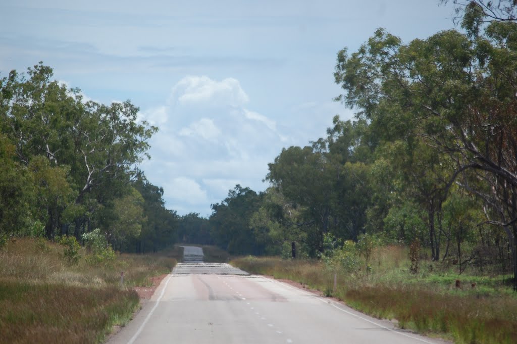
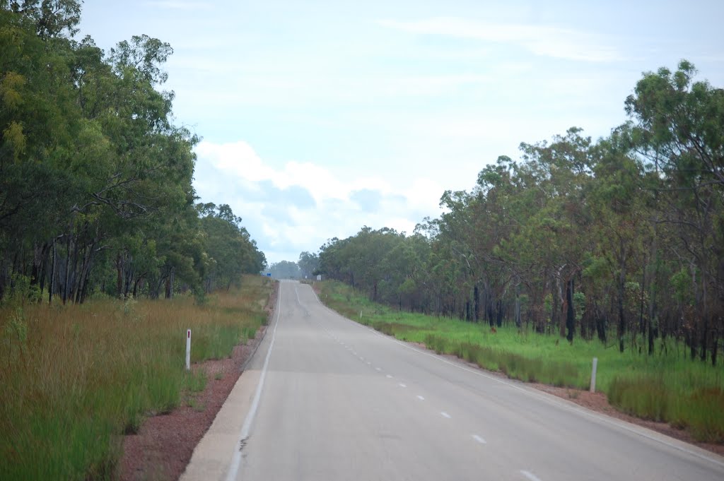
Photos of Larrimah


Larrimah Weather

Forecast: Overcast clouds
Temperature: 24.7°
Humidity: 92%
Sun info not available


