
Distance between  Pentland and
  Templers
1,045.45 mi Straight Distance
1,440.76 mi Driving Distance
1 day 5 hours Estimated Driving Time
The straight distance between Pentland (Queensland) and Templers (South Australia) is 1,045.45 mi, but the driving distance is 1,440.76 mi.
It takes 1 day 5 hours to go from Pentland to Templers.
Driving directions from Pentland to Templers
Distance in kilometers
Straight distance: 1,682.13 km. Route distance: 2,318.18 km
Pentland, Australia
Latitude: -20.5239 // Longitude: 145.399
Photos of Pentland


Pentland Weather

Forecast: Clear sky
Temperature: 18.0°
Humidity: 40%
Sun info not available
Templers, Australia
Latitude: -34.4685 // Longitude: 138.747
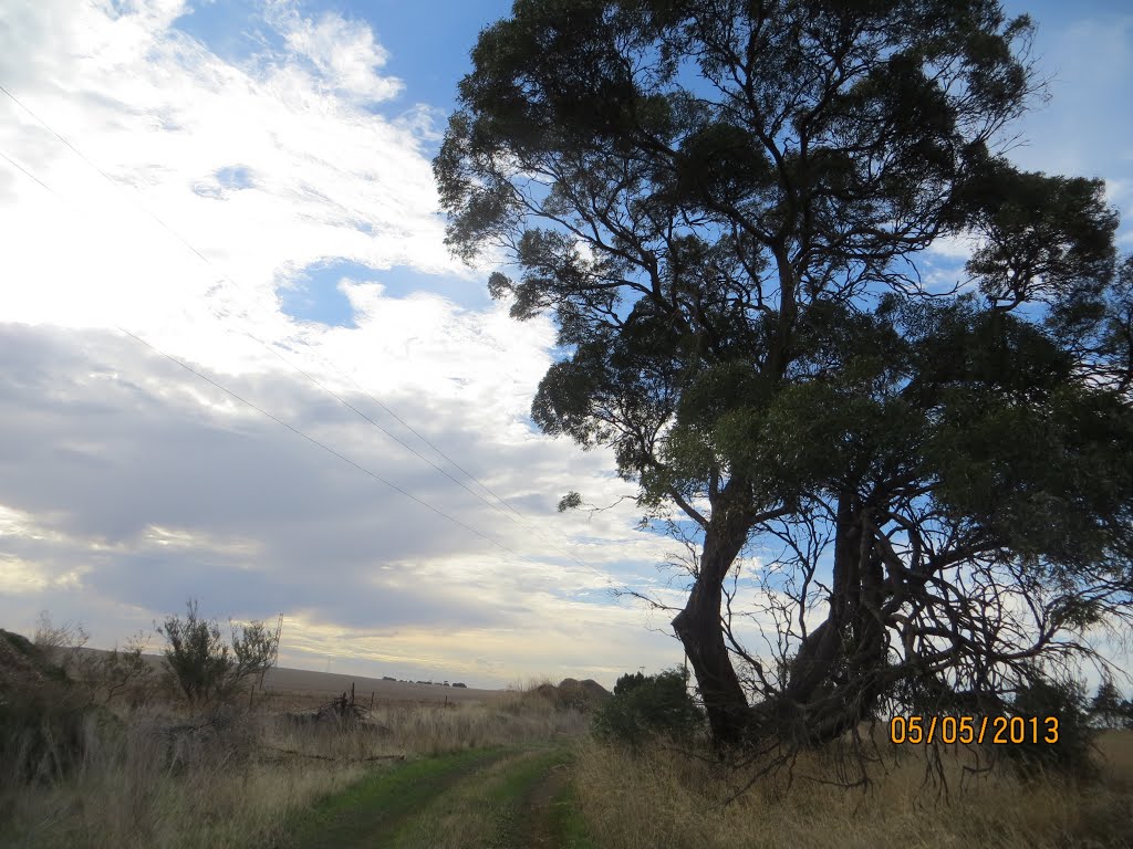
Photos of Templers


Templers Weather
Forecast: Clear sky
Temperature: 18.0°
Humidity: 40%
Current time: 03:22 AM
Sunrise: 07:06 AM
Sunset: 07:46 PM


