
Distance between  Palana and
  Riverside
370.80 mi Straight Distance
659.37 mi Driving Distance
1 day 17 hours Estimated Driving Time
The straight distance between Palana (Tasmania) and Riverside (Victoria) is 370.80 mi, but the driving distance is 659.37 mi.
It takes 1 day 17 hours to go from Palana to Riverside.
Driving directions from Palana to Riverside
Distance in kilometers
Straight distance: 596.61 km. Route distance: 1,060.93 km
Palana, Australia
Latitude: -39.7575 // Longitude: 147.872
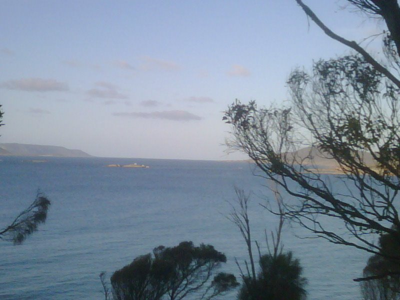
Photos of Palana


Palana Weather

Forecast: Clear sky
Temperature: 19.3°
Humidity: 71%
Sun info not available
Riverside, Australia
Latitude: -36.7237 // Longitude: 142.233
Photos of Riverside


Riverside Weather
Forecast: Clear sky
Temperature: 30.0°
Humidity: 23%
Current time: 05:25 PM
Sunrise: 07:23 AM
Sunset: 07:59 PM


