
Distance between  Palana and
  Denison
133.43 mi Straight Distance
652.07 mi Driving Distance
1 day 16 hours Estimated Driving Time
The straight distance between Palana (Tasmania) and Denison (Victoria) is 133.43 mi, but the driving distance is 652.07 mi.
It takes 1 day 16 hours to go from Palana to Denison.
Driving directions from Palana to Denison
Distance in kilometers
Straight distance: 214.69 km. Route distance: 1,049.18 km
Palana, Australia
Latitude: -39.7575 // Longitude: 147.872
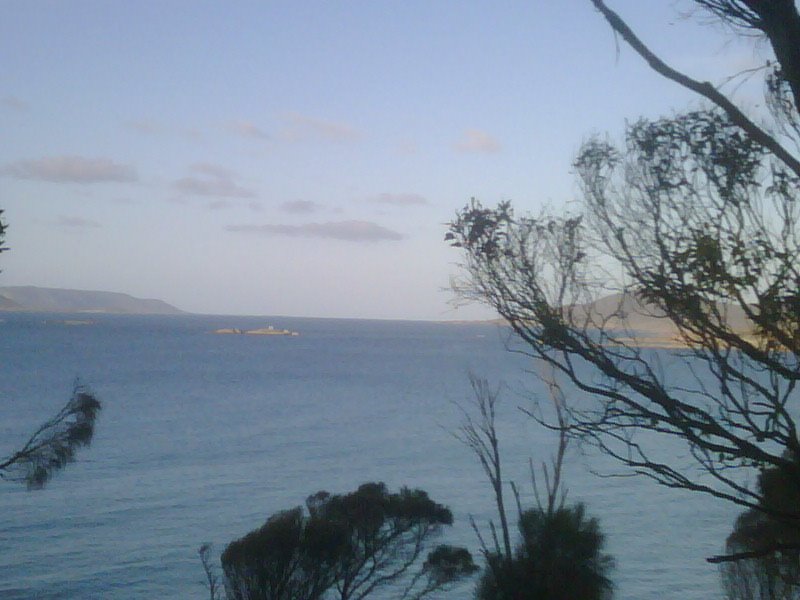
Photos of Palana


Palana Weather

Forecast: Few clouds
Temperature: 15.8°
Humidity: 54%
Sun info not available
Denison, Australia
Latitude: -38.0125 // Longitude: 146.809
Photos of Denison


Denison Weather

Forecast: Overcast clouds
Temperature: 15.9°
Humidity: 70%
Current time: 05:26 PM
Sunrise: 07:06 AM
Sunset: 07:38 PM


