Distance between  Oura and
  Mylestom
452.90 mi Straight Distance
578.88 mi Driving Distance
11 hours 9 mins Estimated Driving Time
The straight distance between Oura (New South Wales) and Mylestom (New South Wales) is 452.90 mi, but the driving distance is 578.88 mi.
It takes to go from Oura to Mylestom.
Driving directions from Oura to Mylestom
Distance in kilometers
Straight distance: 728.71 km. Route distance: 931.43 km
Oura, Australia
Latitude: -35.1081 // Longitude: 147.533
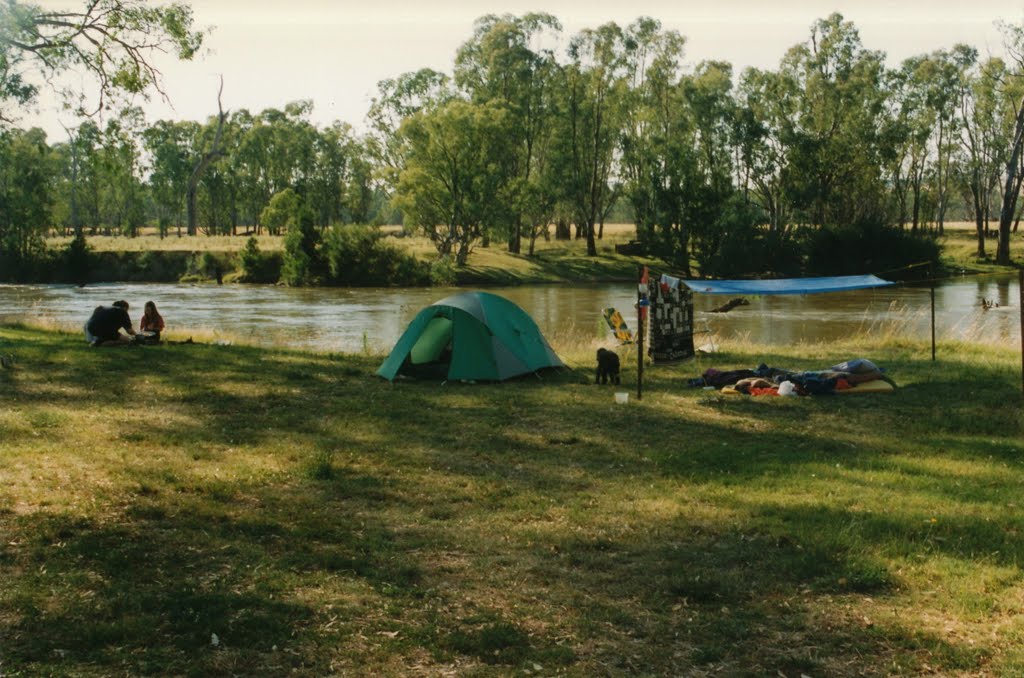
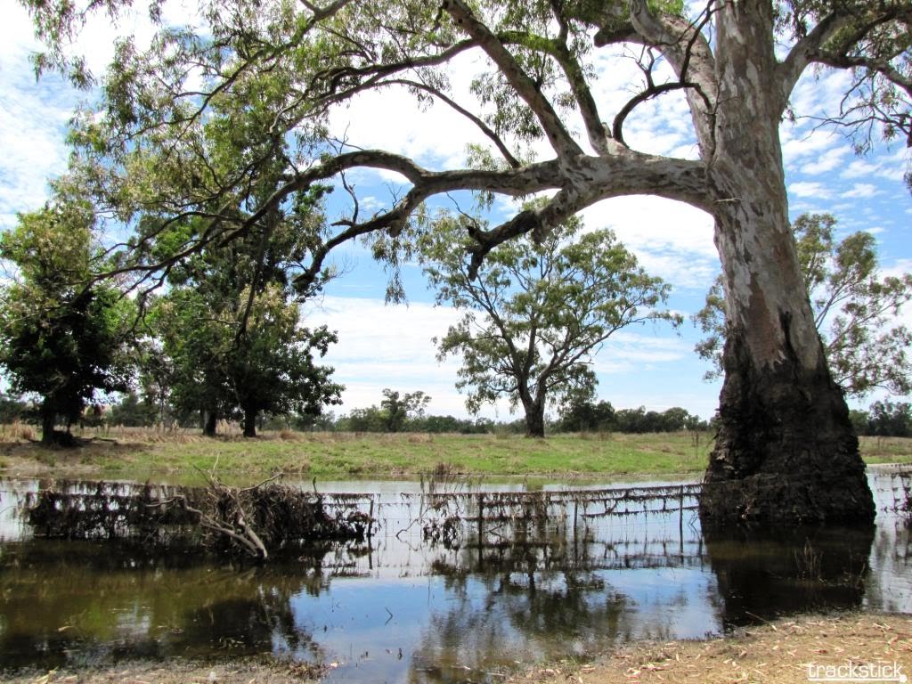
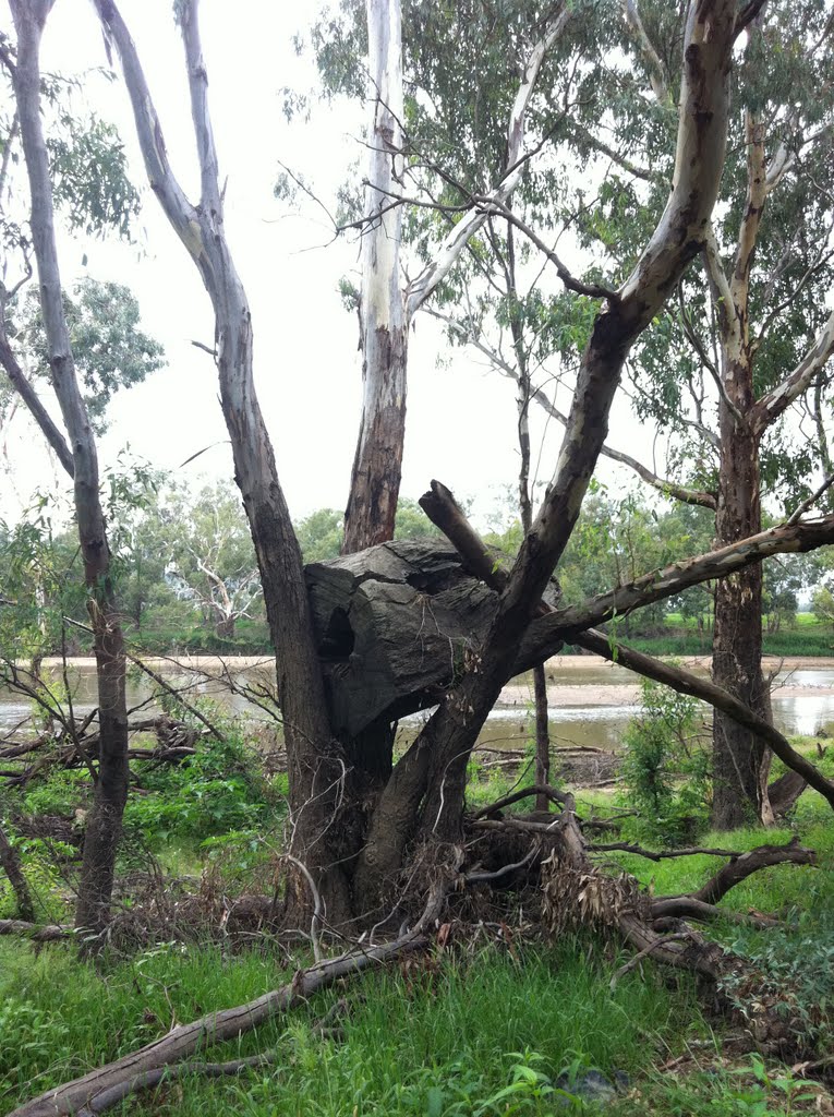
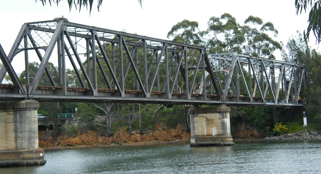
Photos of Oura
Oura Weather

Predicción: Clear sky
Temperatura: 24.8°
Humedad: 36%
Hora actual: 08:43 PM
Amanece: 06:39 AM
Anochece: 08:08 PM
Mylestom, Australia
Latitude: -30.4669 // Longitude: 153.043
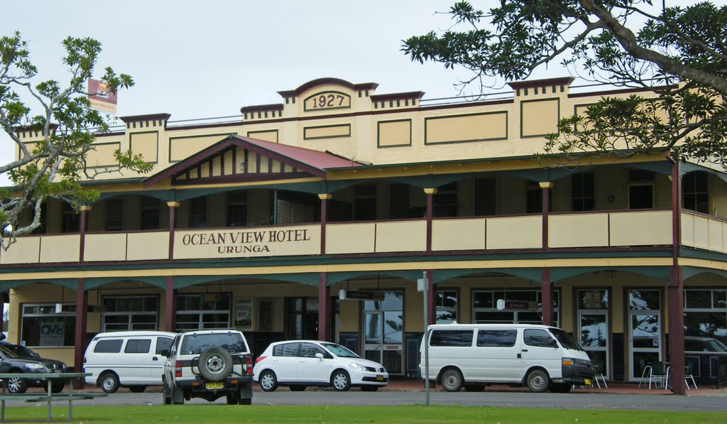
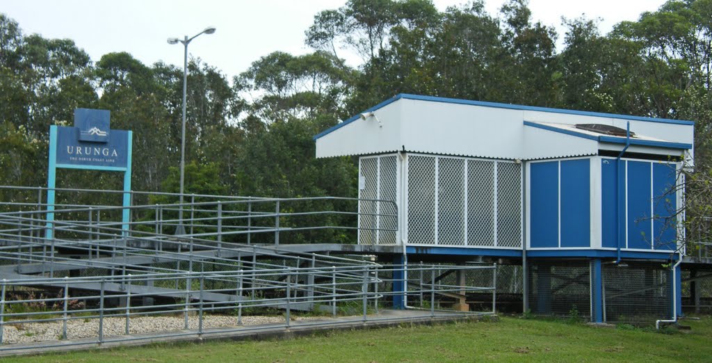
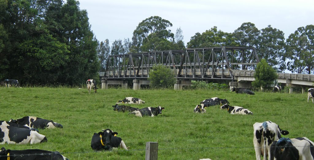
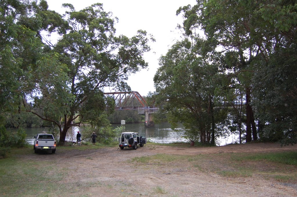
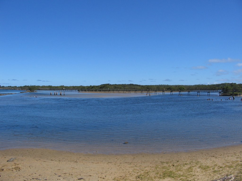
Photos of Mylestom
Mylestom Weather

Predicción: Overcast clouds
Temperatura: 19.0°
Humedad: 100%
Hora actual: 08:43 PM
Amanece: 06:24 AM
Anochece: 07:39 PM


