
Distance between  Onslow and
  Brimpaen
1,937.40 mi Straight Distance
2,728.49 mi Driving Distance
2 days 3 hours Estimated Driving Time
The straight distance between Onslow (Western Australia) and Brimpaen (Victoria) is 1,937.40 mi, but the driving distance is 2,728.49 mi.
It takes 2 days 3 hours to go from Onslow to Brimpaen.
Driving directions from Onslow to Brimpaen
Distance in kilometers
Straight distance: 3,117.27 km. Route distance: 4,390.15 km
Onslow, Australia
Latitude: -21.6378 // Longitude: 115.113
Photos of Onslow


Onslow Weather

Forecast: Clear sky
Temperature: 18.0°
Humidity: 40%
Current time: 11:20 PM
Sunrise: 06:17 AM
Sunset: 06:44 PM
Brimpaen, Australia
Latitude: -37.036 // Longitude: 142.217
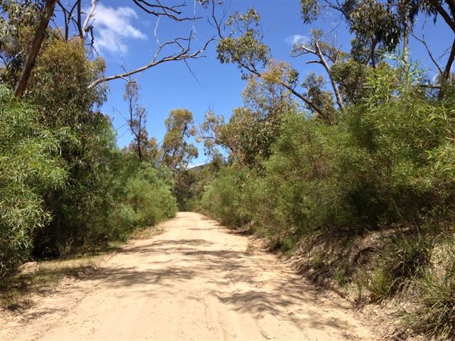
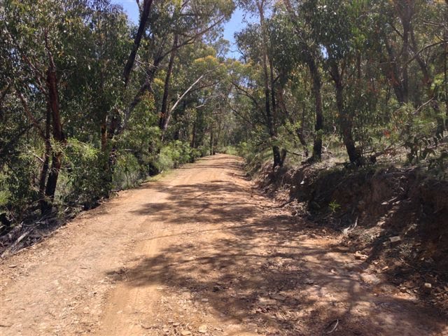
Photos of Brimpaen


Brimpaen Weather
Forecast: Clear sky
Temperature: 18.0°
Humidity: 40%
Sun info not available


