
Distance between  Nullawil and
  Reeves Plains
271.62 mi Straight Distance
330.97 mi Driving Distance
6 hours 45 mins Estimated Driving Time
The straight distance between Nullawil (Victoria) and Reeves Plains (South Australia) is 271.62 mi, but the driving distance is 330.97 mi.
It takes 6 hours 45 mins to go from Nullawil to Reeves Plains.
Driving directions from Nullawil to Reeves Plains
Distance in kilometers
Straight distance: 437.04 km. Route distance: 532.53 km
Nullawil, Australia
Latitude: -35.8527 // Longitude: 143.177
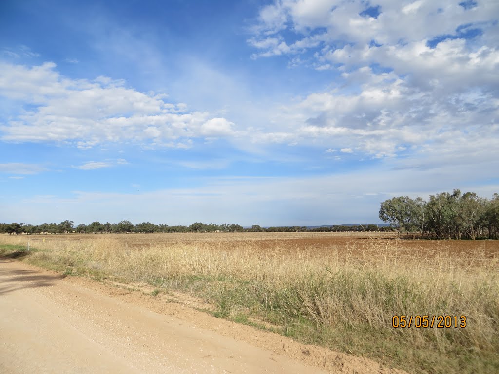
Photos of Nullawil


Nullawil Weather

Forecast: Clear sky
Temperature: 24.1°
Humidity: 32%
Sun info not available
Reeves Plains, Australia
Latitude: -34.5265 // Longitude: 138.648
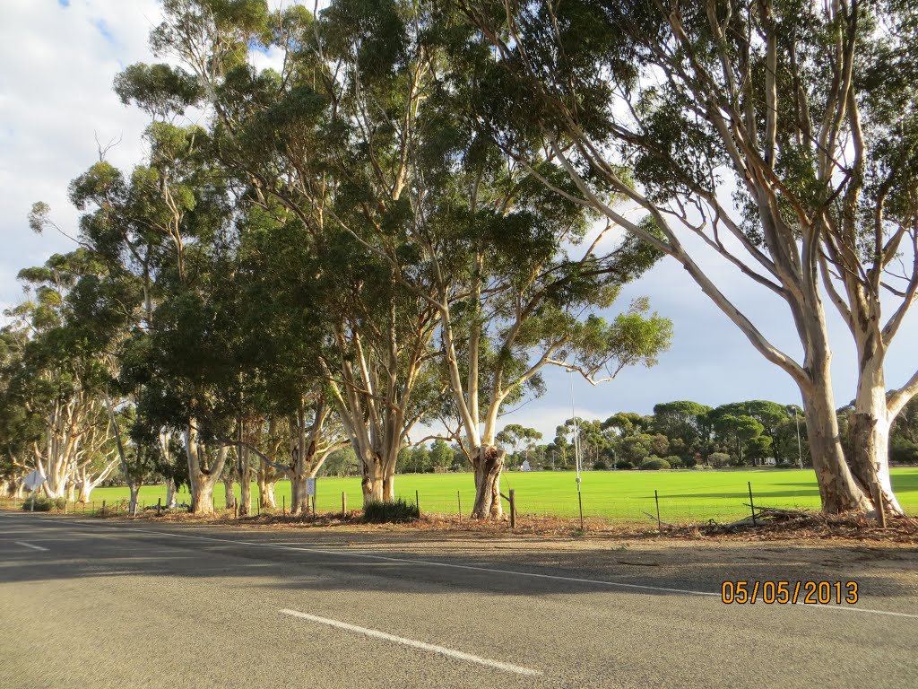
Photos of Reeves Plains


Reeves Plains Weather
Forecast: Clear sky
Temperature: 24.6°
Humidity: 32%
Current time: 04:36 AM
Sunrise: 07:09 AM
Sunset: 07:41 PM


