
Distance between  Noorinbee and
  Timor
Timor
302.57 mi Straight Distance
392.27 mi Driving Distance
8 hours 25 mins Estimated Driving Time
The straight distance between Noorinbee (Victoria) and Timor (Victoria) is 302.57 mi, but the driving distance is 392.27 mi.
It takes to go from Noorinbee to Timor.
Driving directions from Noorinbee to Timor
Distance in kilometers
Straight distance: 486.84 km. Route distance: 631.16 km
Noorinbee, Australia
Latitude: -37.5086 // Longitude: 149.174
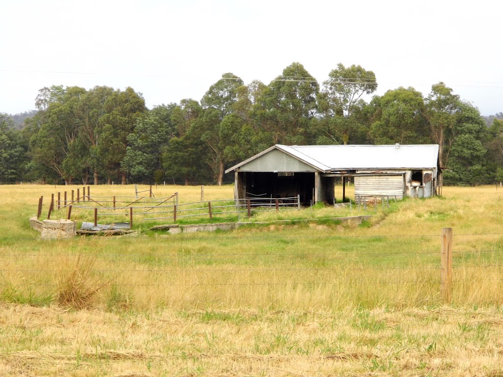
Photos of Noorinbee

![Noorinbee Historic School [2012] the building has a frame of "Pit-sawn box timber" covered with "Hand hewn box pickets" and hand made nails were used. It features a tin chimney and an "odd number of 3 air vents"](/photos/84656707.jpg "Noorinbee Historic School [2012] the building has a frame of \"Pit-sawn box timber\" covered with \"Hand hewn box pickets\" and hand made nails were used. It features a tin chimney and an \"odd number of 3 air vents\"")

![Grey Box Reserve [2012]](/photos/84646156.jpg "Grey Box Reserve [2012]")
Noorinbee Weather

Forecast: Broken clouds
Temperature: 16.5°
Humidity: 98%
Current time: 12:00 AM
Sunrise: 07:49 PM
Sunset: 08:40 AM
Timor, Australia
Latitude: -36.9819 // Longitude: 143.712
Photos of Timor

 - designed by Henry Bastow, Chief Architect, Education Department, and opened in 1874. This is being converted into a Retirement Village")


Timor Weather

Forecast: Clear sky
Temperature: 14.3°
Humidity: 86%
Current time: 08:24 PM
Sunrise: 07:11 AM
Sunset: 08:02 PM


