
Distance between  Nerrin Nerrin and
  Iron Baron
465.64 mi Straight Distance
634 mi Driving Distance
12 hours 58 mins Estimated Driving Time
The straight distance between Nerrin Nerrin (Victoria) and Iron Baron (South Australia) is 465.64 mi, but the driving distance is 634 mi.
It takes 12 hours 58 mins to go from Nerrin Nerrin to Iron Baron.
Driving directions from Nerrin Nerrin to Iron Baron
Distance in kilometers
Straight distance: 749.21 km. Route distance: 1,020.11 km
Nerrin Nerrin, Australia
Latitude: -37.7616 // Longitude: 143.015
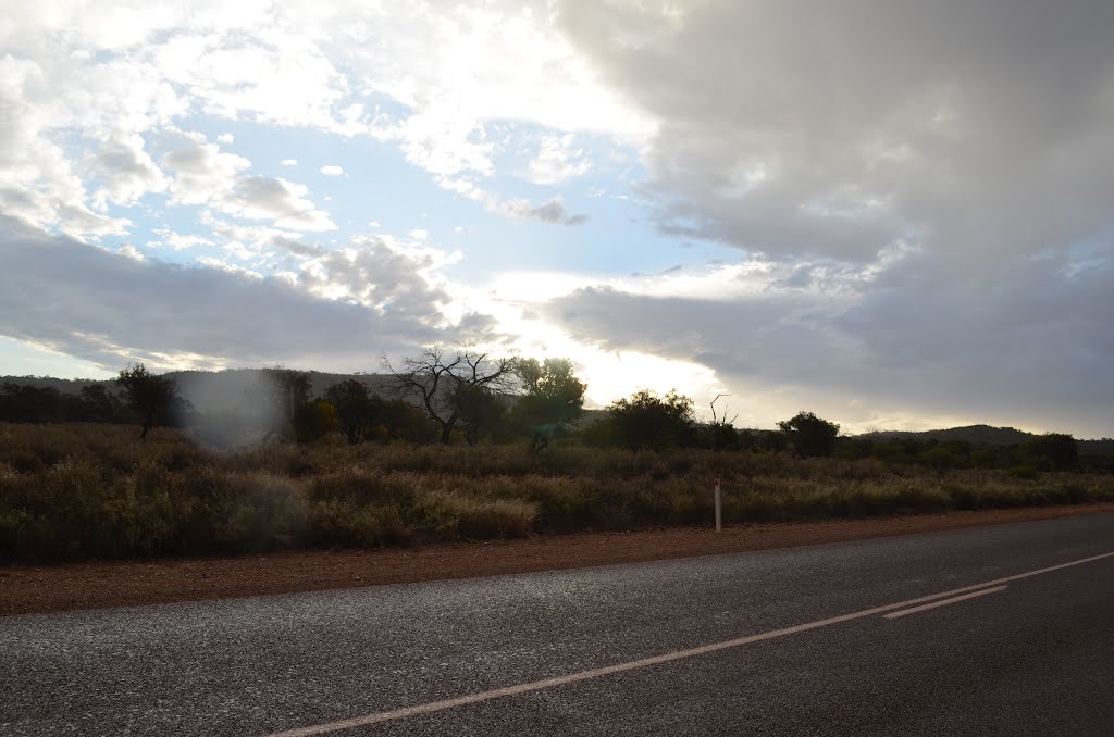
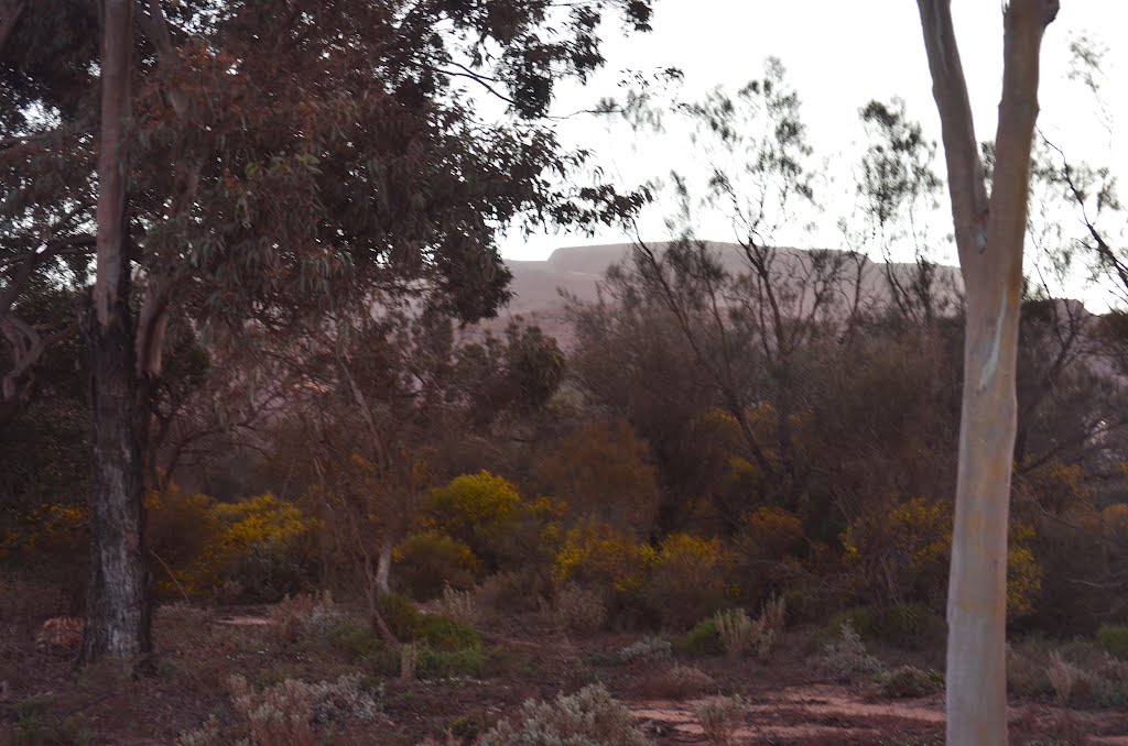
Photos of Nerrin Nerrin


Nerrin Nerrin Weather

Forecast: Broken clouds
Temperature: 15.3°
Humidity: 53%
Sun info not available
Iron Baron, Australia
Latitude: -32.9949 // Longitude: 137.167
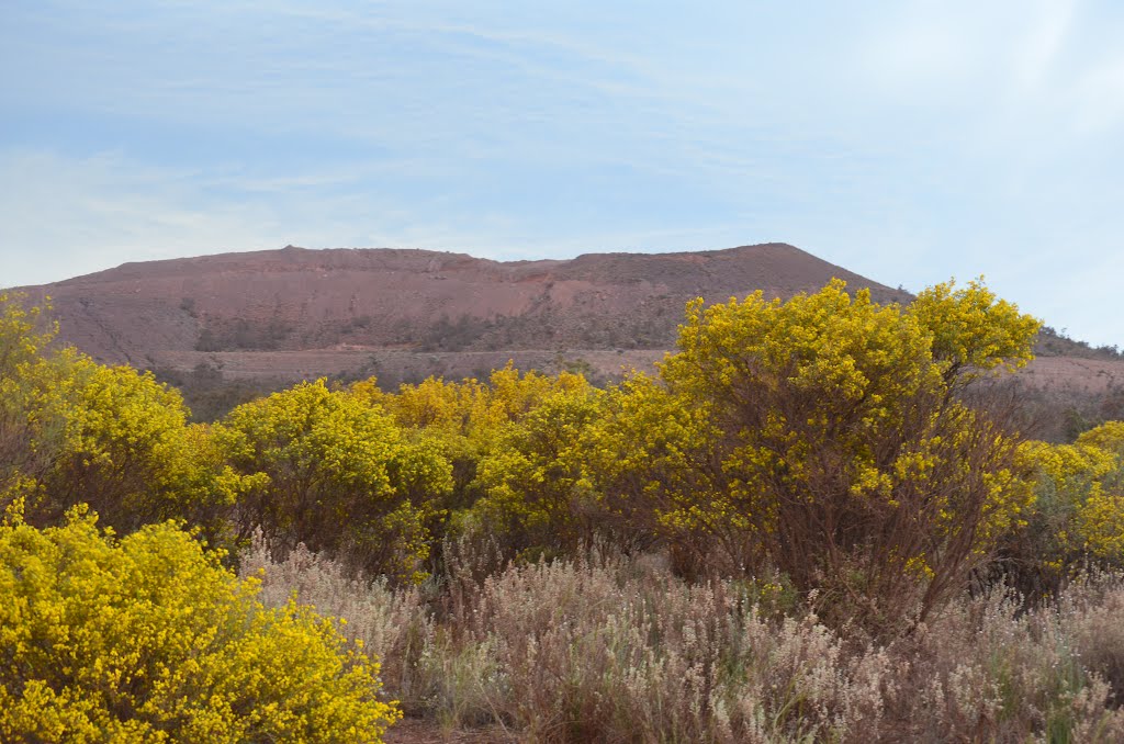
Photos of Iron Baron


Iron Baron Weather

Forecast: Few clouds
Temperature: 19.5°
Humidity: 48%
Sun info not available


